
MARSEILLE
Contributing agency

Station summaryPRIE


| IGS-type acronym : | PRIE00FRA |
| Latitude : | 43.27676000 |
| Longitude : | 5.37270600 |
| Installed date : | 2007-09-18 |
| Decommissioned date : | |
| Country : | FRANCE |
| City: | MARSEILLE |
| Station status : | active (green) |
| Distance to Tide Gauge (m) : | 1544 |
| Domes Nr.: | 19867M001 |
| Station operator: | Unknown |
| IGS-like station form : |
GPS position times seriesPRIE
Position
(Reference epoch: )
(Reference epoch: )
Offsets (mm)
| M | Material change or malfunction |
| E | Earthquake |
| RF | Reference Frame change |
| U | Unknown |
| NA | Not available |
| Position discontinuity | |
| Velocity discontinuity |
Data available at SONELPRIE
Quality plots on RINEX filesPRIE
 |
 |
Plots generated using software developed with the EPN team at ROB |
| Observations & tracking performance | Satellite tracking |
 (this operation may take 20 to 45s)
The satellite tracking graph has been calculated for all stations for the first day of each month. If you wish to have a graph for another date, choose the 'Calculate a specific date' option.
Comparison with satellite altimetry data
- Link to Sea Level Differences (Satellite altimetry minus tide gauge data).
Leveling & DatumsPRIE
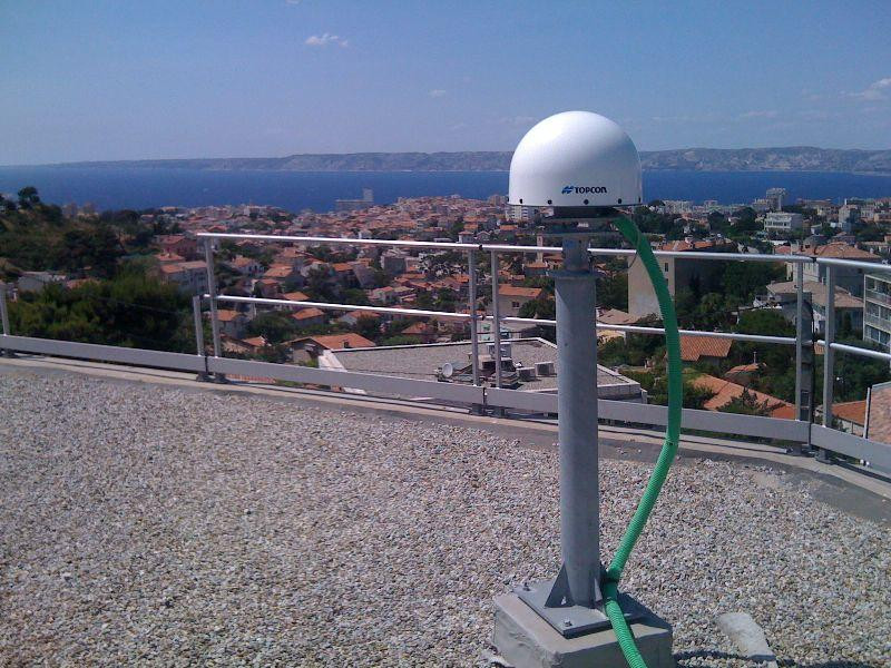
Photo albumPRIE
BibliographyPRIE
If you have a relevant reference to suggest, please send-us an e-mail : sonel@sonel.org-
 Coulomb, 2014. Le marégraphe de Marseille - De la détermination de l'origine des altitudes au suivi des changements climatiques : 130 ans d'observation du niveau de la mer. Presses des Ponts.

-
Woppelmann, Marcos et al., 2014. Rescue of the historical sea level record of Marseille (France) from 1885 to 1988 and its extension back to 1849–1851. Journal of Geodesy.


