
ALMERIA
Contributing agency

Station summaryALME


| IGS-type acronym : | ALME |
| Latitude : | 36.85253380 |
| Longitude : | -2.45944716 |
| Installed date : | 1999-12-04 |
| Decommissioned date : | |
| Country : | SPAIN |
| City: | ALMERIA |
| Station status : | active (green) |
| Distance to Tide Gauge (m) : | 3016 |
| Domes Nr.: | 13437M001 |
| Station operator: | Unknown |
| IGS-like station form : |
GPS position times seriesALME
Position
(Reference epoch: )
(Reference epoch: )
Offsets (mm)
| M | Material change or malfunction |
| E | Earthquake |
| RF | Reference Frame change |
| U | Unknown |
| NA | Not available |
| Position discontinuity | |
| Velocity discontinuity |
Data available at SONELALME
Quality plots on RINEX filesALME
 |
 |
Plots generated using software developed with the EPN team at ROB |
| Observations & tracking performance | Satellite tracking |
 (this operation may take 20 to 45s)
The satellite tracking graph has been calculated for all stations for the first day of each month. If you wish to have a graph for another date, choose the 'Calculate a specific date' option.
Co-located instrumentsALME
- Tide gauge : ALMERIA 2 (ALME2)
- Tide gauge : ALMERIA (ALME1)
- GPS : Almeria (ALMR)
- GPS : Almeria tide gauge (ALM1)
Leveling & DatumsALME
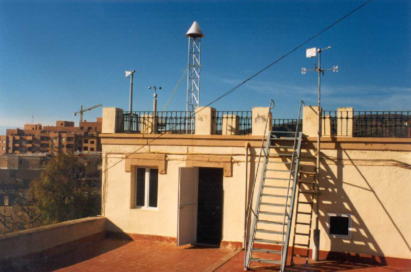
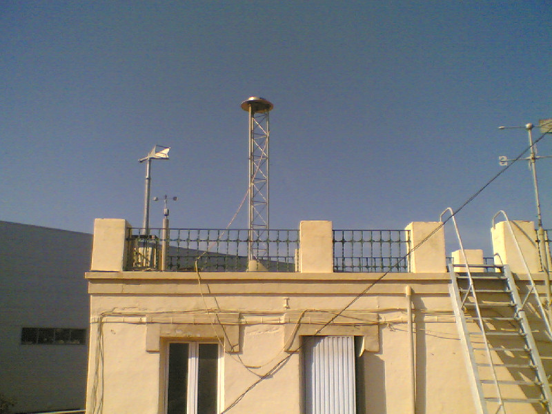
Photo albumALME
Log bookALME
[EUREFmail-9282] - 2018-02-02 (05/02/2018)
Due to an electric outage, ALME hourly data from 033e to 033h were lost.
[EUREFmail-8628] - 2016-07-20 (31/08/2016)
Some of hourly data from ALME stations were not logging:
200, v-x
201, a-e
[EUREFmail-7866] - 2015-03-23 (24/03/2015)
Daily data from EPN station ALME is unavailable for DOYs 80 and 81.


