
DAEJEON
Contributing agency

Station summaryDAEJ


| IGS-type acronym : | DAEJ00KOR |
| Latitude : | 36.39939880 |
| Longitude : | 127.37400055 |
| Installed date : | 1999-03-19 |
| Decommissioned date : | |
| Country : | REPUBLIC OF KOREA |
| City: | DAEJEON |
| Station status : | active (green) |
| Domes Nr.: | 23902M002 |
| Station operator: | Unknown |
| IGS-like station form : |
GPS position times seriesDAEJ
Position
(Reference epoch: )
(Reference epoch: )
Offsets (mm)
| M | Material change or malfunction |
| E | Earthquake |
| RF | Reference Frame change |
| U | Unknown |
| NA | Not available |
| Position discontinuity | |
| Velocity discontinuity |
Data available at SONELDAEJ
Quality plots on RINEX filesDAEJ
 |
 |
Plots generated using software developed with the EPN team at ROB |
| Observations & tracking performance | Satellite tracking |
 (this operation may take 20 to 45s)
The satellite tracking graph has been calculated for all stations for the first day of each month. If you wish to have a graph for another date, choose the 'Calculate a specific date' option.
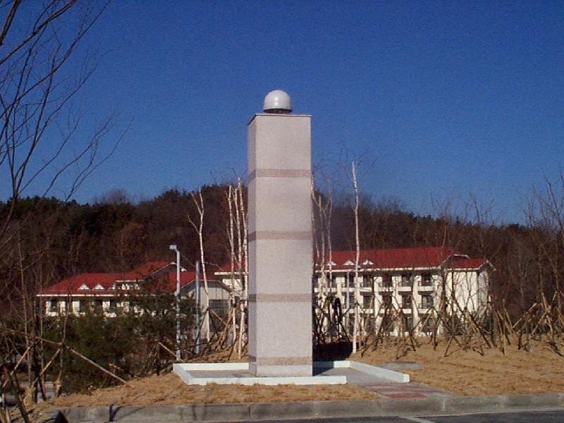
Photo albumDAEJ
Log bookDAEJ
[IGSSTATION-7925] - 2020-03-31 (31/03/2020)
The firmware of the DAEJ was updated to version 5.44.
An updated site log has been submitted to IGS.
[IGSSTATION-7285] - 2018-03-26 (30/03/2018)
The cable of the DAEJ station has been changed on 13 March 2018 07:00 UT. Due to this fault, data from 08/Mar/2018 01:00(UT) to 13/Mar/2018 07:00(UT) have been lost.
[EUREFmail-7269] - 2018-03-08 (08/03/2018)
Due to the cable problem at the station DAEJ, the realtime data stream interrupted and logging stopped since 8 March 2018, 01h00 UT.
We are working on the solution to change the cable.


