
DAVIS
Contributing agency

Station summaryDAV1


| IGS-type acronym : | DAV100ATA |
| Latitude : | -68.57732287 |
| Longitude : | 77.97261348 |
| Installed date : | 1994-01-11 |
| Decommissioned date : | |
| Country : | ANTARCTICA |
| City: | DAVIS |
| Station status : | active (green) |
| Distance to Tide Gauge (m) : | 705 |
| Domes Nr.: | 66010M001 |
| Station operator: | (GA) - Geoscience Australia |
| IGS-like station form : |
GPS position times seriesDAV1
Position
(Reference epoch: )
(Reference epoch: )
Offsets (mm)
| M | Material change or malfunction |
| E | Earthquake |
| RF | Reference Frame change |
| U | Unknown |
| NA | Not available |
| Position discontinuity | |
| Velocity discontinuity |
Data available at SONELDAV1
Quality plots on RINEX filesDAV1
 |
 |
Plots generated using software developed with the EPN team at ROB |
| Observations & tracking performance | Satellite tracking |
 (this operation may take 20 to 45s)
The satellite tracking graph has been calculated for all stations for the first day of each month. If you wish to have a graph for another date, choose the 'Calculate a specific date' option.
Co-located instrumentsDAV1
- Tide gauge : DAVIS (DAVTG)
Leveling & DatumsDAV1
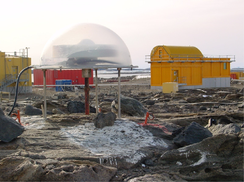
Photo albumDAV1
Log bookDAV1
[IGSSTATION-5989] - 2014-10-12 (13/10/2014)
The communications outage at the CORS DAV1 reported in [IGSSTATION-5986] has been resolved. Please note that all high-rate (1 Hz) data products were lost during this outage (2014-10-08T03:00Z to 2014-10-12T21:30Z).
[IGSSTATION-5986] - 2014-10-10:Due to some technical problems, the communications link to the CORS DAV1 is down. As a result there will be a delay in the data products from the site and there will be a loss of high-rate and real-time products.


