
GENOVA
Station summaryGENO


| IGS-type acronym : | GENO00ITA |
| Latitude : | 44.41938727 |
| Longitude : | 8.92114250 |
| Installed date : | 1998-07-23 |
| Decommissioned date : | |
| Country : | ITALY |
| City: | GENOVA |
| Station status : | active (green) |
| Distance to Tide Gauge (m) : | 1000 |
| Domes Nr.: | 12712M002 |
| Station operator: | Unknown |
| IGS-like station form : |
GPS position times seriesGENO
(Reference epoch: )
| M | Material change or malfunction |
| E | Earthquake |
| RF | Reference Frame change |
| U | Unknown |
| NA | Not available |
| Position discontinuity | |
| Velocity discontinuity |
Data available at SONELGENO
Quality plots on RINEX filesGENO
 |
 |
Plots generated using software developed with the EPN team at ROB |
| Observations & tracking performance | Satellite tracking |
 (this operation may take 20 to 45s)
The satellite tracking graph has been calculated for all stations for the first day of each month. If you wish to have a graph for another date, choose the 'Calculate a specific date' option.
Co-located instrumentsGENO
- Tide gauge : GENOVA (GENTG)
- GPS : Genova Albaro (GENU)
- Tide gauge : GENOVA (GENOV)
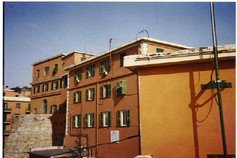
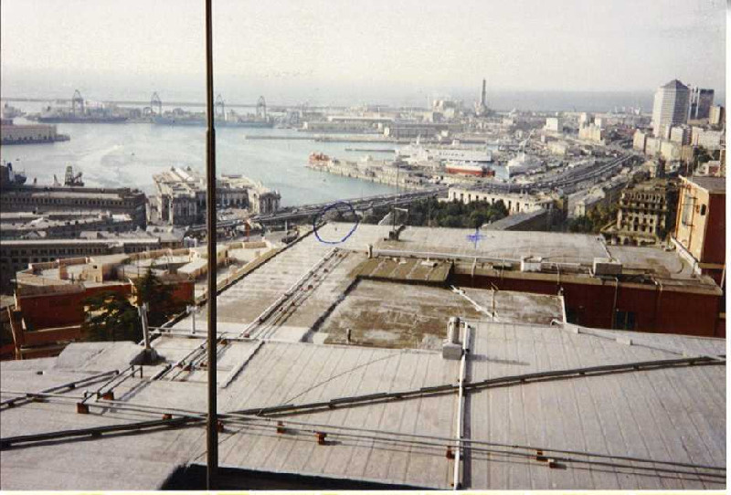
Photo albumGENO
BibliographyGENO
If you have a relevant reference to suggest, please send-us an e-mail : sonel@sonel.org-
 Paola-Picco, 2020. A Comparison between Coastal Altimetry Data and Tidal Gauge Measurements in the Gulf of Genoa (NW Mediterranean Sea). Journal of Marine Science and Engineering.


-
Zerbini, Raicich et al., 2017. Sea-level change in the Northern Mediterranean Sea from long-period tide gauge time series. Earth-Science Reviews.
Log bookGENO
[EUREFmail-10230] - 2020-04-17 (28/04/2020)
Please be adviced that on DOY 2020/108 firmware of Leica GR30 receiver
at GENO00ITA (Genoca) station has been upgraded from 4.20/7.300 to
4.35/7.504.
At the same time, tracking of Galileo E6, Glonass L3 and Beidou B3
signals has been enabled.
[EUREFmail-9493] -2018-07-25 (26/07/2018)
On DOY 2018/206, GENO (Genova, Italy) Leica GR30 firmware was updated
from 4.11/7.102 to 4.20/7.300.
Updated sitelog was submitted to both IGS and EUREF.
[EUREFmail-7265] -2018-03-06 (08/03/2018)
Please be adviced that on DOY 2018/065, at GENO (Genova, Italy) station the old Trimble 4700 receiver was replaced by Leica GR30 with LEIAR20 antenna. The new station is able to record GALILEO and BEIDOU data and will produce Rinex 3.03 also.
Updated sitelog has been submitted to both EUREF and IGS.
[IGSSTATION-6539] -2016-02-26 (02/03/2016)
On Doy 2016/056, data flow from these stations resumed after a break due
to a receiver (Trimble 4700) firmware issue.
A software work around was setup in order to correct wrong dates into
data files.
Plan to replace GPS receivers with modern GNSS receivers for these
stations is still on going.
[IGSSTATION-6526] -2016-02-22 (24/02/2016)
Please note that starting from 2015/046 (Feb 2, 2016) data from Italian
stations AQUI, ELBA and GENO are not available because all old Trimble
4700 GPS receiver stopped to work on that date.
We already have new GNSS receivers avalilable and we are planning their
installation on site.
[IGSSTATION-6014] -2014-11-04 (07/11/2014)
GENO (Genova, Italy) station suffered of a telecommunication black-out
starting from doy 2014/295 up to doy 2014/307.
Now the problem has been fixed, but unfortunately data recover for missing
days has not been possibile.


