
NANYANG
Station summaryNTUS


| IGS-type acronym : | NTUS00SGP |
| Latitude : | 1.34580004 |
| Longitude : | 103.68000031 |
| Installed date : | 1997-06-26 |
| Decommissioned date : | |
| Country : | REPUBLIC OF SINGAPORE |
| City: | SINGAPORE |
| Station status : | active (green) |
| Distance to Tide Gauge (m) : | 6800 |
| Domes Nr.: | 22601M001 |
| Station operator: | Unknown |
| IGS-like station form : |
GPS position times seriesNTUS
(Reference epoch: )
| M | Material change or malfunction |
| E | Earthquake |
| RF | Reference Frame change |
| U | Unknown |
| NA | Not available |
| Position discontinuity | |
| Velocity discontinuity |
Data available at SONELNTUS
Quality plots on RINEX filesNTUS
 |
 |
Plots generated using software developed with the EPN team at ROB |
| Observations & tracking performance | Satellite tracking |
 (this operation may take 20 to 45s)
The satellite tracking graph has been calculated for all stations for the first day of each month. If you wish to have a graph for another date, choose the 'Calculate a specific date' option.
Co-located instrumentsNTUS
- Tide gauge : JURONG (NTUTG)
- Tide gauge : TUAS (WEST JURONG) (TUAWJ)
- Tide gauge : WEST TUAS (WTUAS)
- GPS : Nanyang Technological University, Singapore (SIN1)
- GPS : WEST TUAS SGQZ (SGQZ)
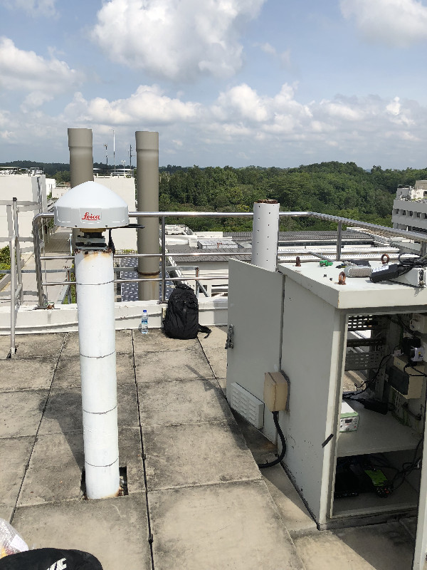
Photo albumNTUS
BibliographyNTUS
If you have a relevant reference to suggest, please send-us an e-mail : sonel@sonel.org-
 Yanguang-Fu, Xinghua-Zhou et al., 2019. Estimation of sea level variability in the South China Sea from satellite altimetry and tide gauge data. Advances in Space Research.


Log bookNTUS
[IGSSTATION-7427] - 2018-10-05 (08/10/2018)
Due to work on the network switches the Local Data Center in Delft will be unavailable on Saturday October 6, 2018, starting at 08:00 LT (06:00 UTC) in the morning. We expect to be up and running again later in the afternoon on Saturday Oct 6.
During this period there will be no data available through ftp or http. Also, no files will be uploaded to IGS and EPN data centers. However, the LDC will still be able to accept incoming data, and also NTRIP data streams should be unaffected (only the NFS mounts to the data are affected).
[IGSSTATION-7302] - 2018-04-18 (15/05/2018)
Today, at 02:30 UTC, the Leica GRX1200PRO receiver and Leica AT504GG antenna at the IGS station NTUS, Singapore, was replaced by more modern hardware capable of tracking all GNSS systems.
The new hardware, a Leica GR50 and AR20 antenna with LEIM radome was donated by Leica Geosystems, while the station continues to be operated under the care of the Singapore Land Authority (SLA).
The antenna height was not changed.
An updated sitelog file will be provided soon, and highrate, hourly and daily RINEX-2/3 data will be uploaded to the appropriate IGS data centers.


