
SUTHERLAND
Station summarySUTH


| IGS-type acronym : | SUTH |
| Latitude : | -32.38019943 |
| Longitude : | 20.81049919 |
| Installed date : | 1997-12-05 |
| Decommissioned date : | |
| Country : | SOUTH AFRICA |
| City: | SUTHERLAND |
| Station status : | active (green) |
| Domes Nr.: | 30314M002 |
| Station operator: | Unknown |
| IGS-like station form : |
GPS position times seriesSUTH
Position
(Reference epoch: )
(Reference epoch: )
Offsets (mm)
| M | Material change or malfunction |
| E | Earthquake |
| RF | Reference Frame change |
| U | Unknown |
| NA | Not available |
| Position discontinuity | |
| Velocity discontinuity |
Data available at SONELSUTH
Quality plots on RINEX filesSUTH
 |
 |
Plots generated using software developed with the EPN team at ROB |
| Observations & tracking performance | Satellite tracking |
 (this operation may take 20 to 45s)
The satellite tracking graph has been calculated for all stations for the first day of each month. If you wish to have a graph for another date, choose the 'Calculate a specific date' option.
Co-located instrumentsSUTH
- GPS : SUTHERLAND (SUTM)
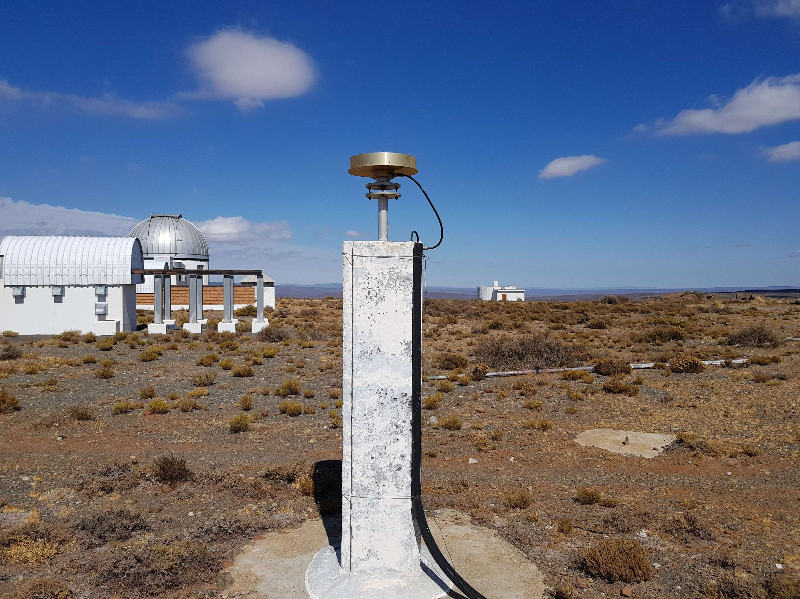
Photo albumSUTH
Log bookSUTH
[IGSSTATION-7862] - 2020-02-05 (18/03/2020)
Septentrio receiver f/w has been updated from 5.3.0 to 5.3.2 for following IGS sites.
ABPO, ARUC, BREW, CHPI, DGAR, FALK, GODE, IISC, JPLM, KOKB, NLIB, SUTH, USUD, VACS
Please see the respective site logs for details.


