
ALEXANDRIA
Contributing agency

Station summaryALEX


| IGS-type acronym : | ALEX |
| Latitude : | 31.19706600 |
| Longitude : | 29.91099100 |
| Installed date : | 2001-10-29 |
| Decommissioned date : | 2008-03-03 |
| Country : | EGYPT |
| City: | ALEXANDRIA |
| Station status : | Decommissioned (white and red cross) |
| Distance to Tide Gauge (m) : | 3132 |
| Domes Nr.: | 30102M001 |
| Station operator: | Unknown |
| IGS-like station form : |
GPS position times seriesALEX
Position
(Reference epoch: )
(Reference epoch: )
Offsets (mm)
| M | Material change or malfunction |
| E | Earthquake |
| RF | Reference Frame change |
| U | Unknown |
| NA | Not available |
| Position discontinuity | |
| Velocity discontinuity |
Data available at SONELALEX
Quality plots on RINEX filesALEX
 |
 |
Plots generated using software developed with the EPN team at ROB |
| Observations & tracking performance | Satellite tracking |
 (this operation may take 20 to 45s)
The satellite tracking graph has been calculated for all stations for the first day of each month. If you wish to have a graph for another date, choose the 'Calculate a specific date' option.
Co-located instrumentsALEX
- GPS : ALX2 (ALX2)
- Tide gauge : Alexandria Port (ALEXA)
- Tide gauge : Alexandria Navy (ALEXN)
Leveling & DatumsALEX
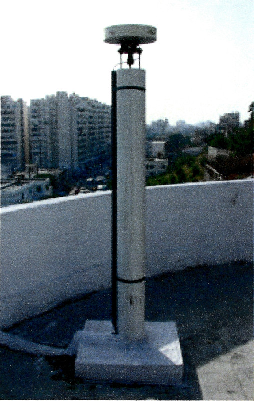
Photo albumALEX
BibliographyALEX
If you have a relevant reference to suggest, please send-us an e-mail : sonel@sonel.org-
 Abdelaal, Bao et al., 2024. Assessing Coastal Heritage Sustainability: Crustal Deformation and Sea-Level Trends At the Qaitbay Citadel in Alexandria, Egypt. IEEE Journal of Selected Topics in Applied Earth Observations and Remote Sensing.

-
Dawod, Ebaid et al., 2021. An Integrated Geomatics Approach for Projecting Sea Level Variations and Risks A Case Study in the Nile Delta, Egypt. Journal of Architecture and Civil Engineering.

-
Frihy, 2003. The Nile Delta-Alexandria coast: vulnerability to sea-level rise, consequences and adaptation. Mitigation and Adaptation Strategies for Global Change.
-
Gebremichael, Sultan et al., 2018. Assessing Land Deformation and Sea Encroachment in the Nile Delta: A Radar Interferometric and Inundation Modeling Approach. Journal of Geophysical Research: Solid Earth.
-
Woodworth, Aman et al., 2007. Sea level monitoring in Africa. African Journal of Marine Science.
-
Woppelmann, Le Cozannet et al., 2013. Is land subsidence increasing the exposture to sea level rise in Alexandria, Egypt?. Geophysical Research Letters.
-
Woppelmann, Marcos, 2012. Coastal sea level rise in southern Europe and the nonclimate contribution of vertical land motion. Journal of Geophysical Research.
Log bookALEX
Le 03/03/2008 (25/05/2010)
Station désactivée (voir http://www.station-gps.cea.com.eg/siteGPS/Frcais/ALEX/fr_ALEX.htm) et remplacée par ALX2.


