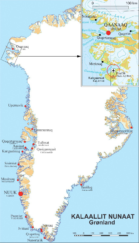
LEVELING OF THULE
Benchmark positionning related to the tide gauge station
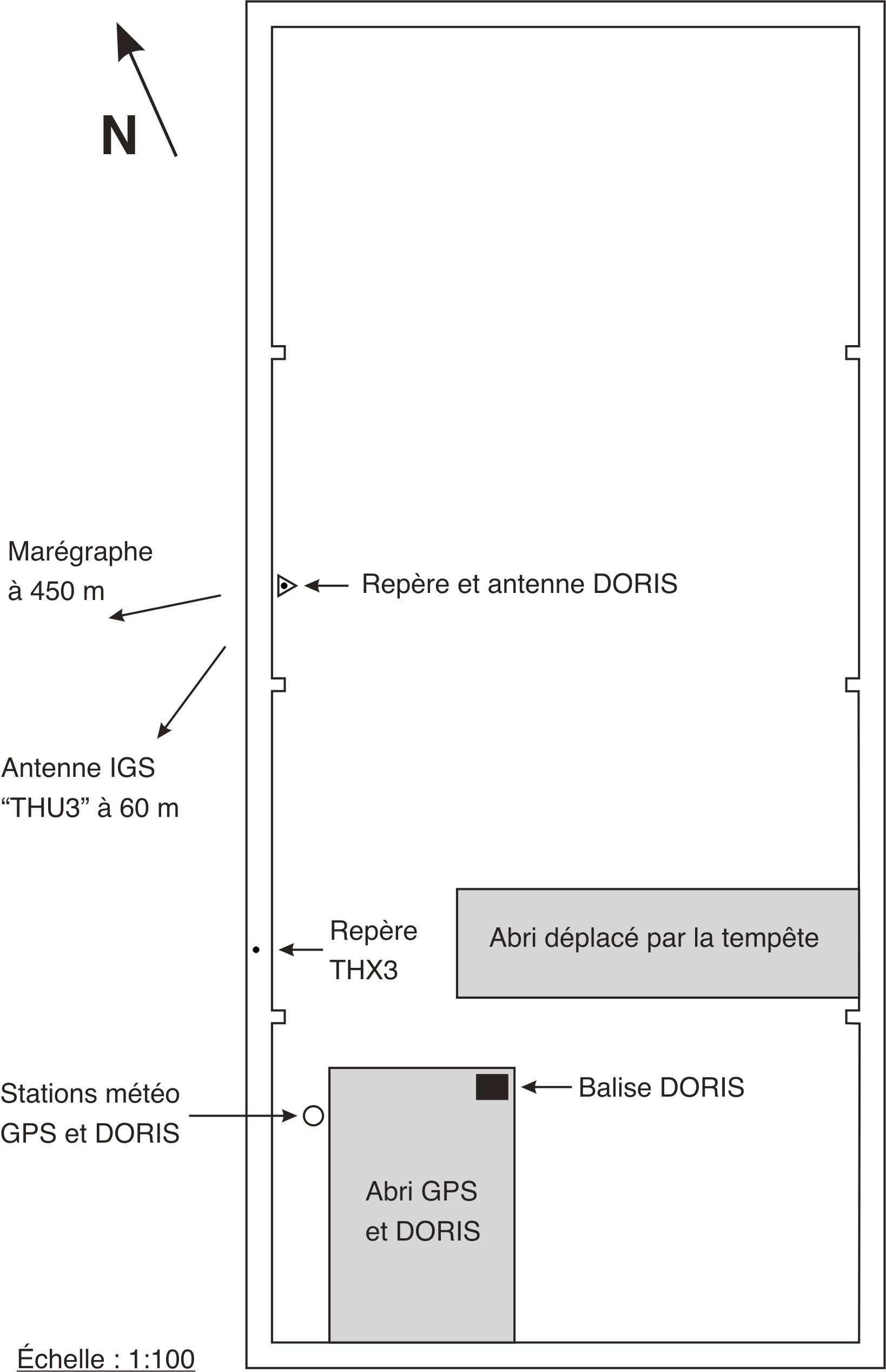
Benchmarks description table
Leveling evolution
| Stand point | THU3 | THU3 | THX3 | THX3 | THUB | THUB | THUB | THUB | DORIS2/MARK | DORIS2/MARK | DORIS2/MARK | ||
|---|---|---|---|---|---|---|---|---|---|---|---|---|---|
| End point | THX3 | THX4 | DORIS2/MARK | THX4 | DORIS2/MARK | THU3 | THX3 | THX4 | THU3 | THX3 | THX4 | ||
| Distance (m) | 55 | 405 | 6 | 444 | 0 | 61 | 6 | 448 | 61 | 6 | 448 | ||
| Height difference (m) | Campaign 1 | 2002-09-15 | 1.7060 ± 0.01 | -17.5270 ± 0.01 | -0.1530 ± 0.001 | -19.2330 ± 0.01 | -2.4330 ± 0.001 | -3.9850 ± 0.01 | -2.2790 ± 0.01 | -21.5120 ± 0.01 | -1.5520 ± 0.01 | 0.1540 ± 0.01 | -19.0790 ± 0.01 |
| Height difference evolution graph |  |  |  |  |  |  |  |  |  |  |  | ||
Download leveling data
TIDE GAUGE LOCAL LEVELING NETWORK DATA OF STATION Thule AFB, Greenland
-----------------------------------------------------------------------------------------------------
Benchmark Lat. Long. Height Year of determination St.dev Distance_to_TG
10chr (°) 14chr (°) 14chr (m) 10chr 22chr (m)10chr (m) 10chr
-----------------------------------------------------------------------------------------------------
THUB 76.537486 -68.823634 ---- ---- ---- 930
DORIS2/MAR76.537486 -68.823634 ---- ---- ---- 930
THU3 76.537047 -68.825029 ---- ---- ---- 960
THX3 76.537441 -68.823744 ---- ---- ---- 930
THX4 76.536681 -68.840524 ---- ---- ---- 1370
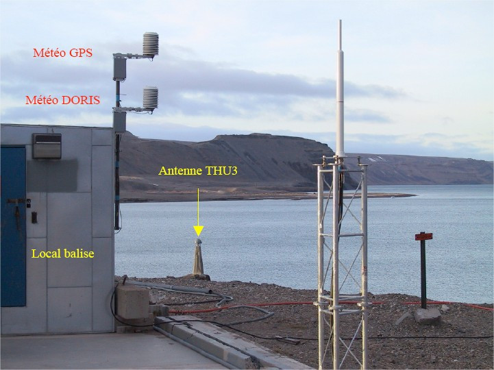
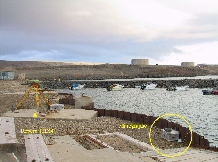
Co-located instruments
Photo album