
PAPEETE
Contributing agency


Station summaryTHTG


| IGS-type acronym : | THTG00PYF |
| Latitude : | -17.57705833 |
| Longitude : | -149.60643610 |
| Installed date : | 2011-01-13 |
| Decommissioned date : | |
| Country : | FRANCE |
| City: | PAPEETE |
| Station status : | active (green) |
| Distance to Tide Gauge (m) : | 6064 |
| Domes Nr.: | 92201M016 |
| Station operator: | (CNES) - Centre National d"Etudes Spatiales (UPF) - Université de la Polynesie francaise |
| IGS-like station form : |
GPS position times seriesTHTG
Position
(Reference epoch: )
(Reference epoch: )
Offsets (mm)
| M | Material change or malfunction |
| E | Earthquake |
| RF | Reference Frame change |
| U | Unknown |
| NA | Not available |
| Position discontinuity | |
| Velocity discontinuity |
Data available at SONELTHTG
Quality plots on RINEX filesTHTG
 |
 |
Plots generated using software developed with the EPN team at ROB |
| Observations & tracking performance | Satellite tracking |
 (this operation may take 20 to 45s)
The satellite tracking graph has been calculated for all stations for the first day of each month. If you wish to have a graph for another date, choose the 'Calculate a specific date' option.
Comparison with satellite altimetry data
- Link to Sea Level Differences (Satellite altimetry minus tide gauge data).
Co-located instrumentsTHTG
- GPS : PAPEETE (PAPE)
- GPS : TAHITI (THTI)
- Tide gauge : PAPEETE (PAPEE)
- Doris : PAPEETE (PATB)
- GPS : Tahiti-Faaa (FAA1)
- GPS : Tahiti - NGA (TAH1)
- GPS : Tahiti - NGA (TAH2)
- Doris : PAPEETE (PAPB)
- Doris : PAPEETE (PAQB)
- Doris : PAPEETE (PAUB)
Leveling & DatumsTHTG
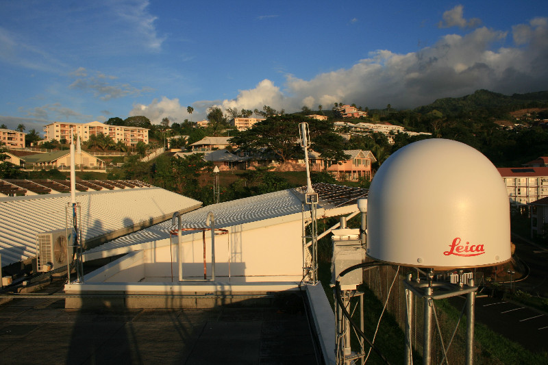
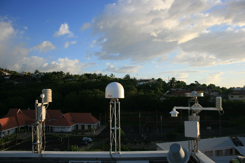
Photo albumTHTG
Log bookTHTG
[IGSSTATION-7876] - 2020-02-13 (18/03/2020)
A firmware upgrade was done on KOUG, THTG, STJ3, YEL2, HARB, GAMG, NRMG, NKLG, AREG stations (Receiver Septentrio PolaRx5/PolaRx5TR in version 5.3.2). The new sitelogs have been submitted to IGS.
[IGSSTATION-7681] - 2019-06-06 (12/06/2019)
For test purpose, we plan to stop L1 SBAS signal of on THTG station on Wednesday 2019-06-12 from 06:00 UT to 10:00 UT.
[IGSSTATION-7381] - 2018-07-27 (30/07/2018)
A firmware upgrade was done on KOUG, KRGG, CIBG, THTG stations. The new sitelog has been submitted to IGS.
The new version is 4.20/6.524 for all this stations


