
FRIDAY HARBOR
Station summary


Links to data sources

Comparison with satellite altimetry data
- Link to Sea Level Differences (Satellite altimetry minus tide gauge data).
Co-located instrumentsSC0TG
- GPS : FRIDAY HARBOR (SC02)
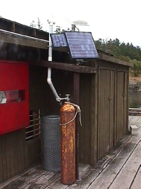
Photo albumSC0TG
BibliographySC0TG
If you have a relevant reference to suggest, please send-us an e-mail : sonel@sonel.org-
 Larson, Ray et al., 2017. A 10-Year Comparison of Water Levels Measured with a Geodetic GPS Receiver versus a Conventional Tide Gauge. Journal of Atmospheric and Oceanic Technology.

-
Shuangcheng-Zhang, Kai-Liu et al., 2019. Tide variation monitoring based improved GNSS-MR by empirical mode decomposition. Advances in Space Research.

-
Wang, Xu et al., 2018. Sea Level Estimation Based on GNSS Dual-Frequency Carrier Phase Linear Combinations and SNR. Remote Sensing.
-
Zheng, Chen et al., 2020. Tide Height Inversion and Accuracy Analysis Based on GNSS-MR Technology.


