
DUBROVNIK
Station summaryDUB2


| IGS-type acronym : | DUB200HRV |
| Latitude : | 42.64998600 |
| Longitude : | 18.11043100 |
| Installed date : | 2011-12-12 |
| Decommissioned date : | |
| Country : | CROATIA |
| City: | DUBROVNIK |
| Station status : | active (green) |
| Distance to Tide Gauge (m) : | 4167 |
| Domes Nr.: | 11901M002 |
| Station operator: | (SGA) - State Geodetic Administration |
| IGS-like station form : |
GPS position times seriesDUB2
Position
(Reference epoch: )
(Reference epoch: )
Offsets (mm)
| M | Material change or malfunction |
| E | Earthquake |
| RF | Reference Frame change |
| U | Unknown |
| NA | Not available |
| Position discontinuity | |
| Velocity discontinuity |
Data available at SONELDUB2
Quality plots on RINEX filesDUB2
 |
 |
Plots generated using software developed with the EPN team at ROB |
| Observations & tracking performance | Satellite tracking |
 (this operation may take 20 to 45s)
The satellite tracking graph has been calculated for all stations for the first day of each month. If you wish to have a graph for another date, choose the 'Calculate a specific date' option.
Comparison with satellite altimetry data
- Link to Sea Level Differences (Satellite altimetry minus tide gauge data).
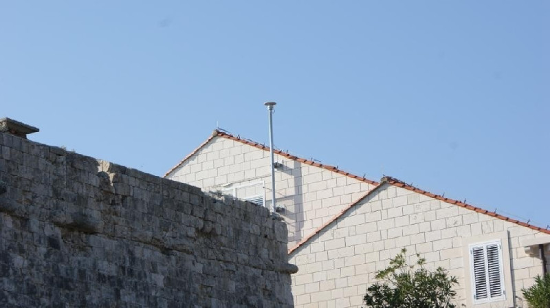
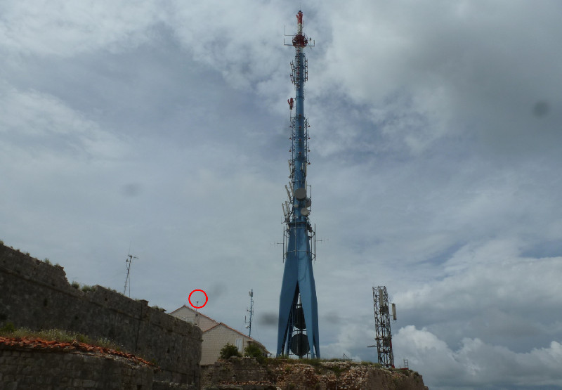
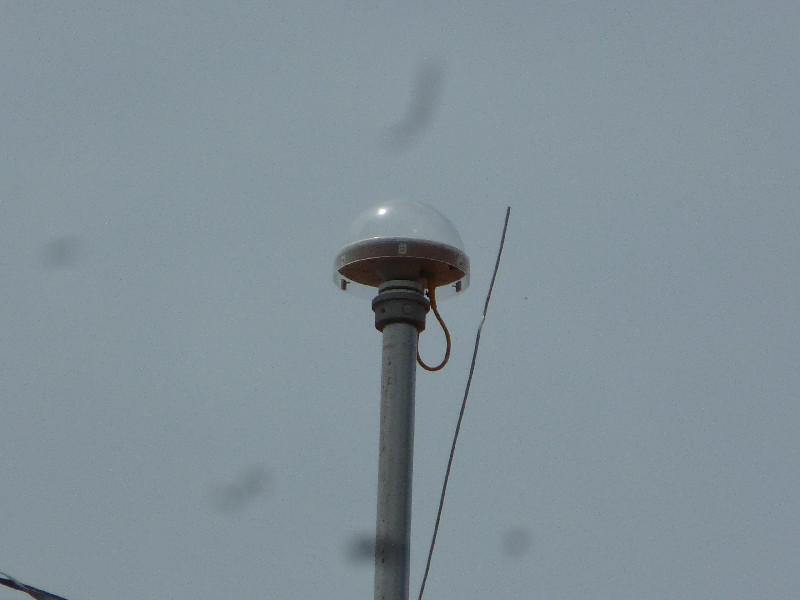
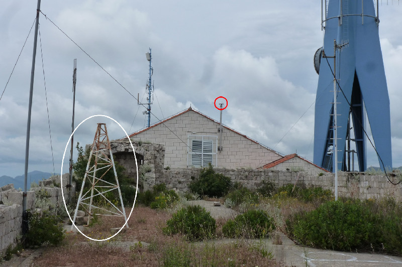
Photo albumDUB2

BibliographyDUB2
If you have a relevant reference to suggest, please send-us an e-mail : sonel@sonel.org-
 De-Biasio, Baldin et al., 2020. Revisiting Vertical Land Motion and Sea Level Trends in the Northeastern Adriatic Sea Using Satellite Altimetry and Tide Gauge Data. Journal of Marine Science and Engineering.


-
Grgic, Bender et al., 2020. Estimating Vertical Land Motion from Remote Sensing and In-Situ Observations in the Dubrovnik Area (Croatia): A Multi-Method Case Study. Remote Sensing.
-
Pajak, Kowalczyk et al., 2021. Studying the Sensitivity of Satellite Altimetry, Tide Gauge and GNSS Observations to Changes in Vertical Displacements. Geomatics and Environmental Engineering.
-
Vignudelli, De-Biasio, 2021. Coastal Sea Level Trends from a Joint Use of Satellite Radar Altimetry, GPS and Tide Gauges: Case Study of the Northern Adriatic Sea. Geodetic Sciences - Theory, Applications and Recent Developments.
Log bookDUB2
[EUREFmail-7882] - 2015-04-07 (08/04/2015)
Due to yearly maintenance on electrical infrastructure that our power supplier will perform on the location of CROPOS control center, EPN stations CAKO, DUB2, PORE, POZE and ZADA will be unavailable on 8th April 2015 from 8:30 to 14:00 hrs.
[EUREFmail-7793] - 2015-01-26 (26/01/2015)
Due to technical problems, station DUB2 is out of order at the moment. We are doing everything to make it operational again. The EUREF community will be informed as soon as data become available again.


