
BOULOGNE-SUR-MER
Contributing agency

Station summaryEQHE


| IGS-type acronym : | EQHE00FRA |
| Latitude : | 50.68035000 |
| Longitude : | 1.56755200 |
| Installed date : | 2011-07-06 |
| Decommissioned date : | 2019-11-03 |
| Country : | FRANCE |
| City: | BOULOGNE-SUR-MER |
| Station status : | Decommissioned (white and red cross) |
| Distance to Tide Gauge (m) : | 5295 |
| Domes Nr.: | 19932M001 |
| Station operator: | Unknown |
| IGS-like station form : |
GPS position times seriesEQHE
Position
(Reference epoch: )
(Reference epoch: )
Offsets (mm)
| M | Material change or malfunction |
| E | Earthquake |
| RF | Reference Frame change |
| U | Unknown |
| NA | Not available |
| Position discontinuity | |
| Velocity discontinuity |
Data available at SONELEQHE
Quality plots on RINEX filesEQHE
 |
 |
Plots generated using software developed with the EPN team at ROB |
| Observations & tracking performance | Satellite tracking |
 (this operation may take 20 to 45s)
The satellite tracking graph has been calculated for all stations for the first day of each month. If you wish to have a graph for another date, choose the 'Calculate a specific date' option.
Co-located instrumentsEQHE
- Tide gauge : BOULOGNE-SUR-MER (BOULO)
- GPS : Equihen (EQH2)
Leveling & DatumsEQHE
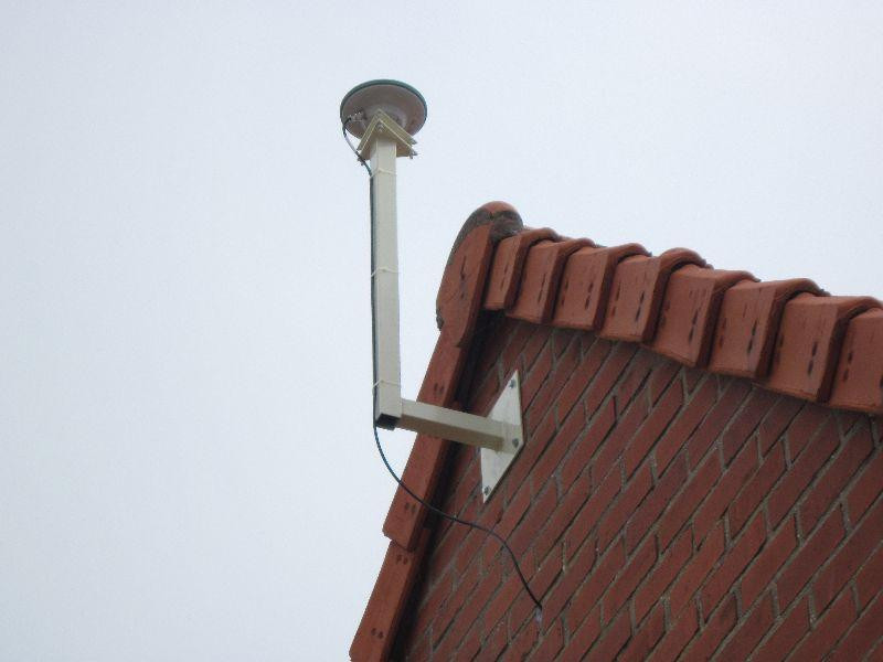
Photo albumEQHE
History of the stationEQHE
Station EQHE arr^été le 03/11/2019 et remplacée par EQH2 sur le même site le 14/11/2019. Première données disponibles doy:318/2019.


