
BOULOGNE-SUR-MER
Contributing agency

Station summaryEQH2


| IGS-type acronym : | EQH200FRA |
| Latitude : | 50.68035000 |
| Longitude : | 1.56755200 |
| Installed date : | 2019-11-14 |
| Decommissioned date : | |
| Country : | FRANCE |
| City: | BOULOGNE-SUR-MER |
| Station status : | active (green) |
| Distance to Tide Gauge (m) : | 5295 |
| Domes Nr.: | 19932M002 |
| Station operator: | (SAT-INFO) - SATINFO Réseau GNSS |
| IGS-like station form : |
GPS position times seriesEQH2
Position
(Reference epoch: )
(Reference epoch: )
Offsets (mm)
| M | Material change or malfunction |
| E | Earthquake |
| RF | Reference Frame change |
| U | Unknown |
| NA | Not available |
| Position discontinuity | |
| Velocity discontinuity |
Data available at SONELEQH2
Quality plots on RINEX filesEQH2
 |
 |
Plots generated using software developed with the EPN team at ROB |
| Observations & tracking performance | Satellite tracking |
 (this operation may take 20 to 45s)
The satellite tracking graph has been calculated for all stations for the first day of each month. If you wish to have a graph for another date, choose the 'Calculate a specific date' option.
Co-located instrumentsEQH2
- Tide gauge : BOULOGNE-SUR-MER (BOULO)
- GPS : Equihen (EQHE)
Leveling & DatumsEQH2
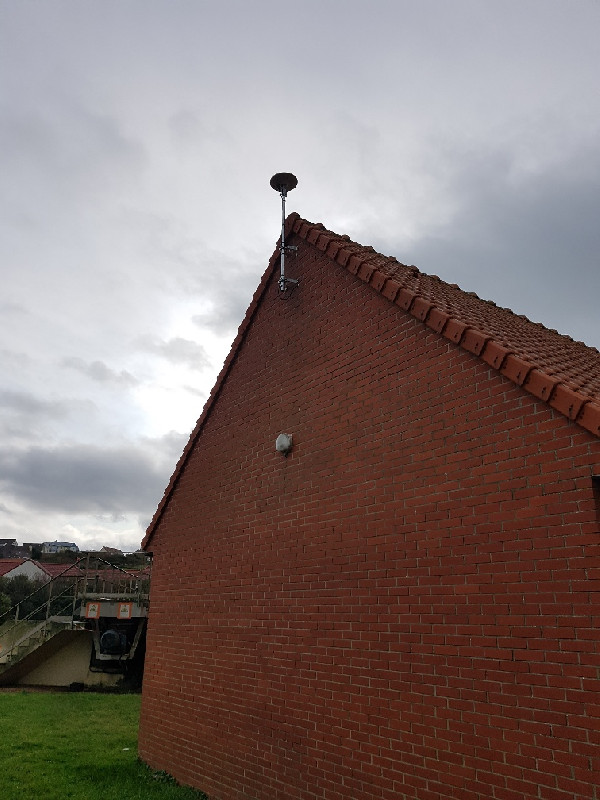
Photo albumEQH2
History of the stationEQH2
La station EQH2 remplace par EQHE.
depuis le 02/11/2019 cette station n'était plus en état de fournir un service de positionnement satisfaisant, l' antenne ayant subie des dommages trop importants. Les données corrompues ont été retirées de la diffusion au RGP.


