
FORT-DE-FRANCE
Contributing agency


Station summaryFFTG


| IGS-type acronym : | FFTG |
| Latitude : | 14.60149956 |
| Longitude : | -61.06320190 |
| Installed date : | 2012-02-25 |
| Decommissioned date : | 2015-11-26 |
| Country : | FRANCE |
| City: | FORT-DE-FRANCE |
| Station status : | Decommissioned (white and red cross) |
| Distance to Tide Gauge (m) : | 1 |
| Domes Nr.: | 97201M006 |
| Station operator: | (LIENSs - OASU) - LIENSs - OASU |
| IGS-like station form : |
GPS position times seriesFFTG
Position
(Reference epoch: )
(Reference epoch: )
Offsets (mm)
| M | Material change or malfunction |
| E | Earthquake |
| RF | Reference Frame change |
| U | Unknown |
| NA | Not available |
| Position discontinuity | |
| Velocity discontinuity |
Data available at SONELFFTG
Quality plots on RINEX filesFFTG
 |
 |
Plots generated using software developed with the EPN team at ROB |
| Observations & tracking performance | Satellite tracking |
 (this operation may take 20 to 45s)
The satellite tracking graph has been calculated for all stations for the first day of each month. If you wish to have a graph for another date, choose the 'Calculate a specific date' option.
Co-located instrumentsFFTG
- Tide gauge : FORT-DE-FRANCE (FOR2F)
- GPS : LE LAMENTIN (LMMF)
- Doris : LE LAMENTIN (LAOB)
- GPS : Fort-de-France (FFT2)
Leveling & DatumsFFTG
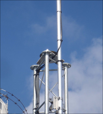
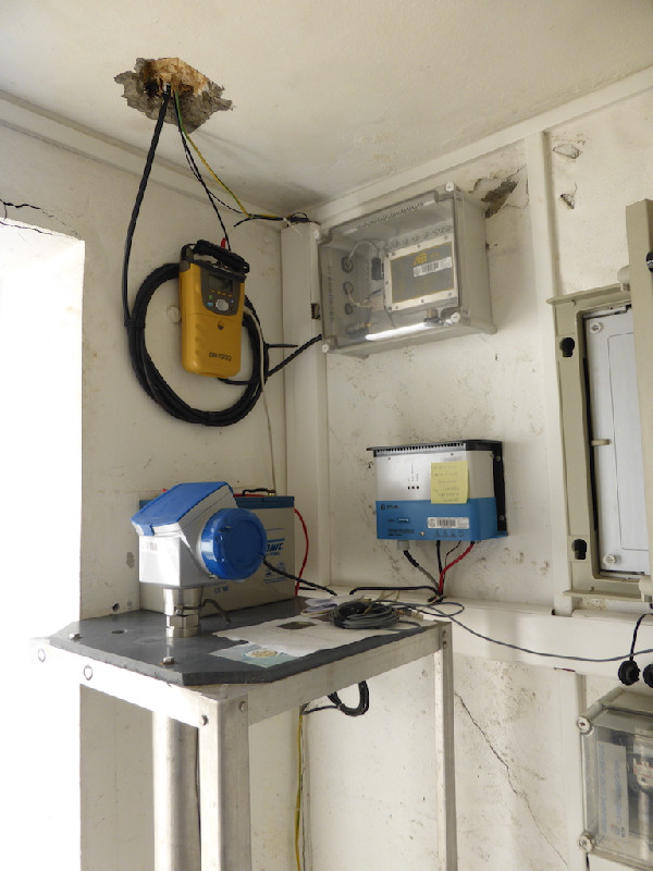
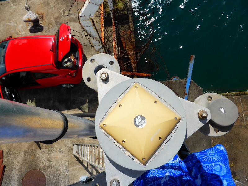
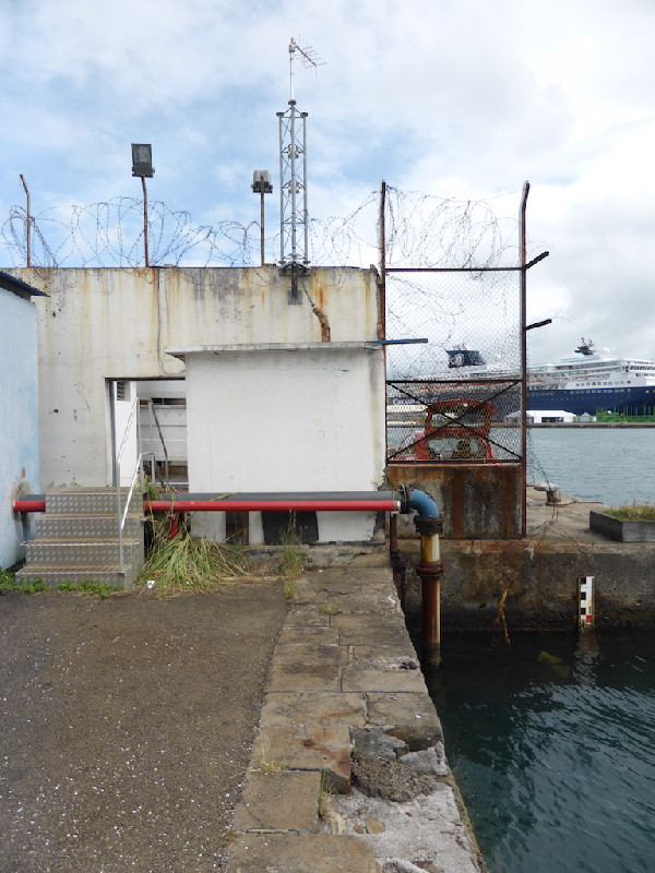
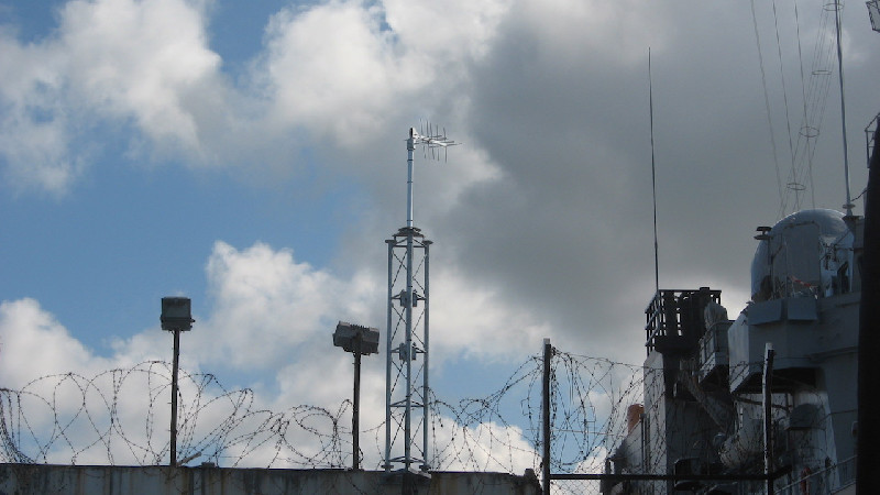
Photo albumFFTG
BibliographyFFTG
If you have a relevant reference to suggest, please send-us an e-mail : sonel@sonel.org-
 Gravalon, Seoane et al., 2021. The impact of barometric variations on the sea level in coastal areas using GNSS reflectometry. IGARSS Conference.
-
Gravalon, Seoane et al., 2022. Determination of weather-induced short-term sea level variations by GNSS reflectometry. Remote Sensing of Environment.


-
Lhermitte, 2015. Travaux réalisés en Martinique en 2014 dans le cadre de la convention SONEL.
-
Poyard, 2013. Co-location survey (Le Lamentin, French West Indies). Rapport Technique IGN/SGN, RT/G 171, 28466.


