
NOUMEA
Contributing agency


Station summaryNBTG

GNSS-IR


| IGS-type acronym : | NBTG00NCL |
| Latitude : | -22.24200000 |
| Longitude : | 166.41612400 |
| Installed date : | 2015-04-27 |
| Decommissioned date : | |
| Country : | FRANCE |
| City: | NOUMEA |
| Station status : | active (green) |
| Distance to Tide Gauge (m) : | 2 |
| Domes Nr.: | 92747M001 |
| Station operator: | (LIENSs-OASU) - LIENSs - OASU |
| IGS-like station form : |
GPS position times seriesNBTG
Position
(Reference epoch: )
(Reference epoch: )
Offsets (mm)
| M | Material change or malfunction |
| E | Earthquake |
| RF | Reference Frame change |
| U | Unknown |
| NA | Not available |
| Position discontinuity | |
| Velocity discontinuity |
Data available at SONELNBTG
Quality plots on RINEX filesNBTG
 |
 |
Plots generated using software developed with the EPN team at ROB |
| Observations & tracking performance | Satellite tracking |
 (this operation may take 20 to 45s)
The satellite tracking graph has been calculated for all stations for the first day of each month. If you wish to have a graph for another date, choose the 'Calculate a specific date' option.
Co-located instrumentsNBTG
- GPS : NOUMEA (NOUM)
- Tide gauge : NOUMEA-CHALEIX (NOUME)
- Tide gauge : NOUMEA-NUMBO (NUMBO)
- GPS : NOUMEA (NRMD)
- GPS : NOUMEA NORMANDIE (NRMG)
- Doris : NOUMEA (NOXC)
Leveling & DatumsNBTG
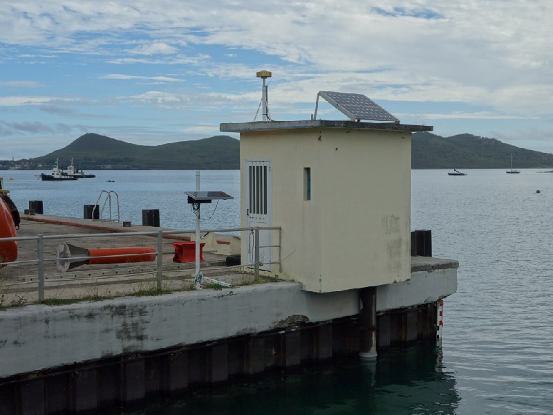
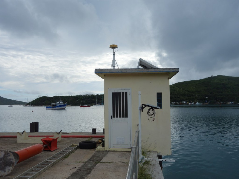
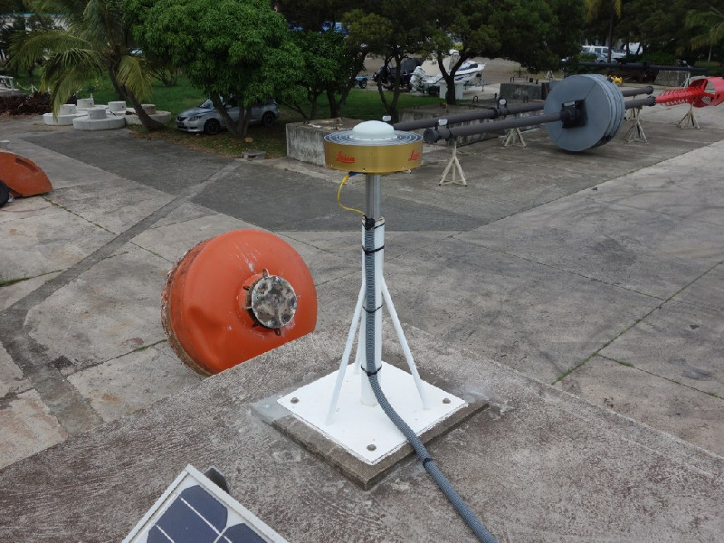
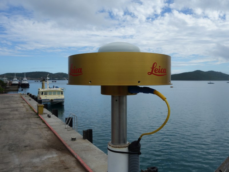
Photo albumNBTG

BibliographyNBTG
If you have a relevant reference to suggest, please send-us an e-mail : sonel@sonel.org-
 Aucan, Merrifield et al., 2017. Historical Sea Level in the South Pacific from Rescued Archives, Geodetic Measurements, and Satellite Altimetry. Pure and Applied Geophysics.

-
Chupin, Ballu et al., 2020. Mapping Sea Surface Height Using New Concepts of Kinematic GNSS Instruments. Remote Sensing.

Log bookNBTG
2022-04-27 (25/05/2022)
Intervention by the SHOM to change the acquisition central of the tide gauge. Before it was an Elta system, now it is a Campbell. Also, installation of the meteorological sensor and the camera.


