
TAI PO
Contributing agency

Station summaryHKST


| IGS-type acronym : | HKST00HKG |
| Latitude : | 22.39527000 |
| Longitude : | 114.18424500 |
| Installed date : | 2000-11-13 |
| Decommissioned date : | |
| Country : | HONG KONG |
| City: | TAI PO |
| Station status : | active (green) |
| Distance to Tide Gauge (m) : | 5258 |
| Domes Nr.: | 23017M001 |
| Station operator: | (LD-HK) - Lands Department - Hong-Kong |
| IGS-like station form : |
GPS position times seriesHKST
Position
(Reference epoch: )
(Reference epoch: )
Offsets (mm)
| M | Material change or malfunction |
| E | Earthquake |
| RF | Reference Frame change |
| U | Unknown |
| NA | Not available |
| Position discontinuity | |
| Velocity discontinuity |
Data available at SONELHKST
Quality plots on RINEX filesHKST
 |
 |
Plots generated using software developed with the EPN team at ROB |
| Observations & tracking performance | Satellite tracking |
 (this operation may take 20 to 45s)
The satellite tracking graph has been calculated for all stations for the first day of each month. If you wish to have a graph for another date, choose the 'Calculate a specific date' option.
Comparison with satellite altimetry data
- Link to Sea Level Differences (Satellite altimetry minus tide gauge data).
Co-located instrumentsHKST
- Tide gauge : TAI PO KAU, TOLO HARBOUR (TAIPO)
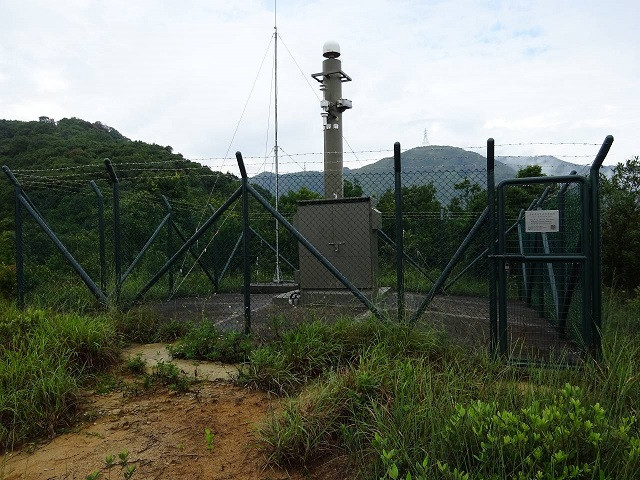
Photo albumHKST
BibliographyHKST
If you have a relevant reference to suggest, please send-us an e-mail : sonel@sonel.org-
 Ying-Qu, Yong-Gang-Liu et al., 2020. Future sea level rise along the coast of China and adjacent region under 1.5 °C and 2.0 °C global warming. Advances in Climate Change Research.


-
Zhou, Liu et al., 2021. Seasonal Variation of GPS-Derived the Principal Ocean Tidal Constituents’ Loading Displacement Parameters Based on Moving Harmonic Analysis in Hong Kong. Remote Sensing.


