
SAINT-PAUL
Contributing agency


Station summarySPT2

GNSS-IR


| IGS-type acronym : | SPT200ATF |
| Latitude : | -38.71433056 |
| Longitude : | 77.53136667 |
| Installed date : | 2018-12-02 |
| Decommissioned date : | |
| Country : | FRANCE |
| City: | SAINT-PAUL |
| Station status : | No data for 30 days (orange) |
| Domes Nr.: | 91402M002 |
| Station operator: | (IGN) - Institut National de l'Information Géographique et Forestière (LEGOS) - Laboratoire d'Etudes en Geophysique et Oceanographie Spatiale (LIENSs-OASU) - LIENSs - OASU |
| IGS-like station form : |
Data available at SONELSPT2
Quality plots on RINEX filesSPT2
 |
 |
Plots generated using software developed with the EPN team at ROB |
| Observations & tracking performance | Satellite tracking |
 (this operation may take 20 to 45s)
The satellite tracking graph has been calculated for all stations for the first day of each month. If you wish to have a graph for another date, choose the 'Calculate a specific date' option.
Co-located instrumentsSPT2
- Tide gauge : SAINT-PAUL (SPAUL)
- GPS : Saint-Paul Tide Gauge (SPTG)
Leveling & DatumsSPT2
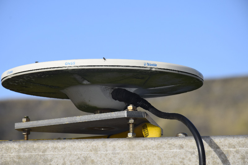
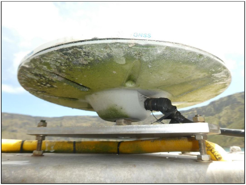
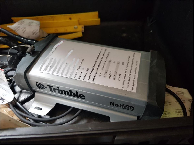
Photo albumSPT2

BibliographySPT2
If you have a relevant reference to suggest, please send-us an e-mail : sonel@sonel.org-
 Brachet, Loyer, 2018. Compte-rendu OP3/4_2018 - Nivmer.
-
Henry, 2023. Sensor Inter-Comparison Analysis at Saint-Paul Island.

-
T2i IPEV, Log IPEV, 2019. Compte-rendu OP4_2019 - Nivmer.


