LES SABLES D'OLONNE
Station summary


| Responsible organization: | link to REFMAR web page |
| Latitude : | 46.49750137 |
| Longitude : | -1.79373002 |
| Start date: | |
| End date: | |
| Country: | FRANCE |
| City: | LES_SABLES_D_OLONNE |
| Station state: | VERT |
Mean sea level
Daily means
Monthly means
Annual means
Calculating the mean sea levels
Links to data sources



Comparison with satellite altimetry data
- Link to Sea Level Differences (Satellite altimetry minus tide gauge data).
Co-located instrumentsOLONE
- GPS : SABLES OLONNE (SABL)
Leveling & DatumsOLONE
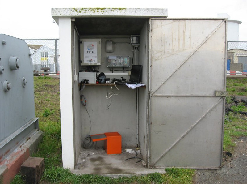
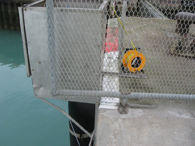
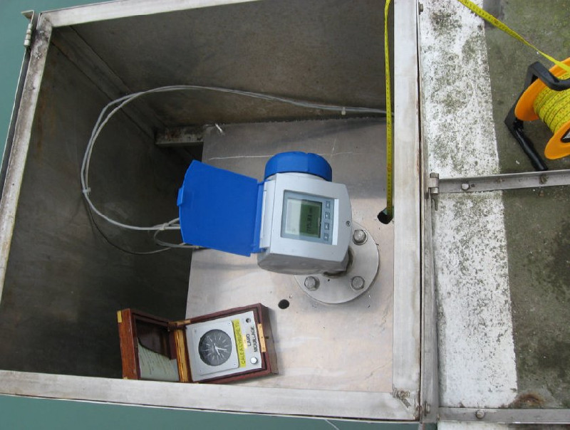
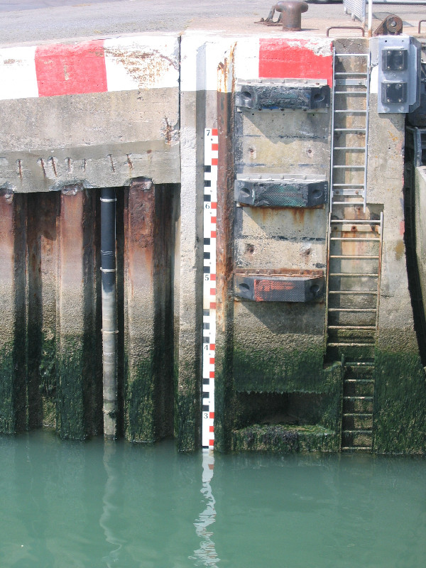
Photo albumOLONE
BibliographyOLONE
If you have a relevant reference to suggest, please send-us an e-mail : sonel@sonel.org-
 Dodet, Bertin et al., 2019. Characterization of Sea-level Variations Along the Metropolitan Coasts of France: Waves, Tides, Storm Surges and Long-term Changes.


-
Jean-Rémy-Huguet, Xavier-Bertin et al., 2018. Managed realignment to mitigate storm-induced flooding: A case study in La Faute-sur-mer, France. Coastal Engineering.
-
Vu, Frappart et al., 2018. Multi-Satellite Altimeter Validation along the French Atlantic Coast in the Southern Bay of Biscay from ERS-2 to SARAL. Remote Sensing.
Logbook
2021-11-04 (31/05/2022)
Intervention by the SHOM to change the acquisition central of the tide gauge. Before it was an Elta system, now it is a Campbell. Also, installation of the meteorological sensor METSENS500 and a camera MOBOTIX.Le 18/02/2010 (08/04/2010)
Relance du MCN. Archivage des données.Le 11/05/1999 (06/04/2010)
Installation d'un marégraphe côtier numérique (MCN): capteur radar Krohne BM70 et centrale d'acquisition MORS HT200.Le 07/03/2008 (06/04/2010)
Modernisation du matériel: changement du capteur radar BM70 pour un capteur Optiflex (toujours Krohne) et changement de la centrale MORS pour une centrale ELTA.Le 09/03/2009 : Changement d'EPROM . (06/04/2010)
Un problème est survenu lors du changement de l'EPROM le 09/03/09.Ce problème a entraîné un plantage du capteur et de la centrale.
Ces derniers ont été changés dans la foulée mais cela a entrainé un trou dans les mesures.
Le 26/11/2009 (11/12/2009)
Relance du MCN.Archivage des données à 10 min et HH.
History of this station
A venir...