
KINGSHILL
Contributing agency

Station summaryVIKH


| IGS-type acronym : | VIKH00VIR |
| Latitude : | 17.71618271 |
| Longitude : | -64.79812622 |
| Installed date : | 2006-08-16 |
| Decommissioned date : | |
| Country : | U.S. VIRGIN ISLANDS (USA) |
| City: | KINGSHILL |
| Station status : | active (green) |
| Distance to Tide Gauge (m) : | 3500 |
| Domes Nr.: | 49376M001 |
| Station operator: | (UVI) - University of the Virgin Islands |
| IGS-like station form : |
GPS position times seriesVIKH
Position
(Reference epoch: )
(Reference epoch: )
Offsets (mm)
| M | Material change or malfunction |
| E | Earthquake |
| RF | Reference Frame change |
| U | Unknown |
| NA | Not available |
| Position discontinuity | |
| Velocity discontinuity |
Data available at SONELVIKH
Quality plots on RINEX filesVIKH
 |
 |
Plots generated using software developed with the EPN team at ROB |
| Observations & tracking performance | Satellite tracking |
 (this operation may take 20 to 45s)
The satellite tracking graph has been calculated for all stations for the first day of each month. If you wish to have a graph for another date, choose the 'Calculate a specific date' option.
Comparison with satellite altimetry data
- Link to Sea Level Differences (Satellite altimetry minus tide gauge data).
Co-located instrumentsVIKH
- Tide gauge : LIME TREE BAY, ST CROIX (VIKTG)
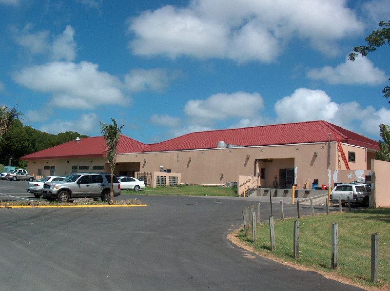
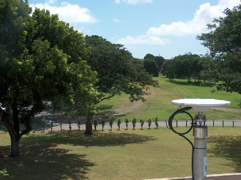
Photo albumVIKH
BibliographyVIKH
If you have a relevant reference to suggest, please send-us an e-mail : sonel@sonel.org-
 Yang, Wang et al., 2016. GPS geodetic infrastructure for natural hazards study in the Puerto Rico and Virgin Islands region.. Natural Hazards.


