
CHARLESTON (SOUTH CAROLINA)
Contributing agency

Station summarySCHA

GNSS-IR


| IGS-type acronym : | SCHA00USA |
| Latitude : | 32.77947662 |
| Longitude : | -79.92536029 |
| Installed date : | 2004-10-13 |
| Decommissioned date : | 2018-05-19 |
| Country : | U.S.A. |
| City: | CHARLESTON (SOUTH CAROLINA) |
| Station status : | Decommissioned (white and red cross) |
| Distance to Tide Gauge (m) : | 200 |
| Domes Nr.: | 49383M001 |
| Station operator: | (SCGS) - South Carolina Geodetic Survey |
| IGS-like station form : |
GPS position times seriesSCHA
Position
(Reference epoch: )
(Reference epoch: )
Offsets (mm)
| M | Material change or malfunction |
| E | Earthquake |
| RF | Reference Frame change |
| U | Unknown |
| NA | Not available |
| Position discontinuity | |
| Velocity discontinuity |
Data available at SONELSCHA
Quality plots on RINEX filesSCHA
 |
 |
Plots generated using software developed with the EPN team at ROB |
| Observations & tracking performance | Satellite tracking |
 (this operation may take 20 to 45s)
The satellite tracking graph has been calculated for all stations for the first day of each month. If you wish to have a graph for another date, choose the 'Calculate a specific date' option.
Comparison with satellite altimetry data
- Link to Sea Level Differences (Satellite altimetry minus tide gauge data).
Co-located instrumentsSCHA
- GPS : Charleston 1 (CHA1)
- GPS : Charleston (SCCC)
- Tide gauge : CHARLESTON (SCHTG)
- GPS : FORT JOHNSON (SCFJ)
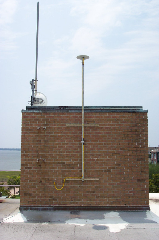
Photo albumSCHA
BibliographySCHA
If you have a relevant reference to suggest, please send-us an e-mail : sonel@sonel.org-
 Ezer, 2013. Sea level rise, spatially uneven and temporally unsteady: Why the U.S. East Coast, the global tide gauge record, and the global altimeter data show different trends. Geophysical Research Letters.


