
BURNIE
Contributing agency

Station summaryBUR2

GNSS-IR


| IGS-type acronym : | BUR200AUS |
| Latitude : | -41.05007254 |
| Longitude : | 145.91484852 |
| Installed date : | 2008-03-14 |
| Decommissioned date : | |
| Country : | AUSTRALIA |
| City: | BURNIE |
| Station status : | active (green) |
| Distance to Tide Gauge (m) : | 2 |
| Domes Nr.: | 50144M003 |
| Station operator: | (GA) - Geoscience Australia |
| IGS-like station form : |
GPS position times seriesBUR2
Position
(Reference epoch: )
(Reference epoch: )
Offsets (mm)
| M | Material change or malfunction |
| E | Earthquake |
| RF | Reference Frame change |
| U | Unknown |
| NA | Not available |
| Position discontinuity | |
| Velocity discontinuity |
Data available at SONELBUR2
Quality plots on RINEX filesBUR2
 |
 |
Plots generated using software developed with the EPN team at ROB |
| Observations & tracking performance | Satellite tracking |
 (this operation may take 20 to 45s)
The satellite tracking graph has been calculated for all stations for the first day of each month. If you wish to have a graph for another date, choose the 'Calculate a specific date' option.
Comparison with satellite altimetry data
- Link to Sea Level Differences (Satellite altimetry minus tide gauge data).
Co-located instrumentsBUR2
- GPS : BURNIE (BUR1)
- Tide gauge : BURNIE (BURTG)
- GPS : Round Hill Point Light House (RHPT)
Leveling & DatumsBUR2
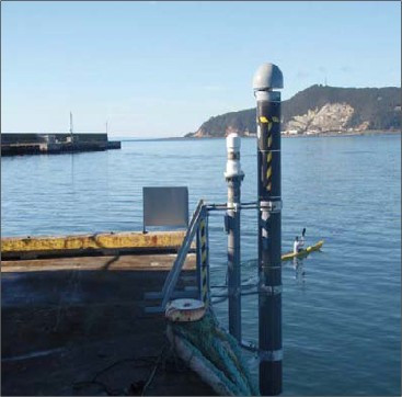
Photo albumBUR2
BibliographyBUR2
If you have a relevant reference to suggest, please send-us an e-mail : sonel@sonel.org-
 Watson, White et al., 2011. Absolute Calibration in Bass Strait, Australia: TOPEX, Jason-1 and OSTM/Jason-2. Marine Geodesy.


