
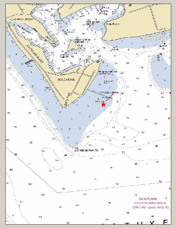
SOLOMONS ISLAND
Station summary


Links to data sources

Comparison with satellite altimetry data
- Link to Sea Level Differences (Satellite altimetry minus tide gauge data).
Co-located instrumentsMDSTG
- GPS : SOLOMONS ISLAND (SOL1)
- GPS : SOLOMONS ISLAND (MDSI)
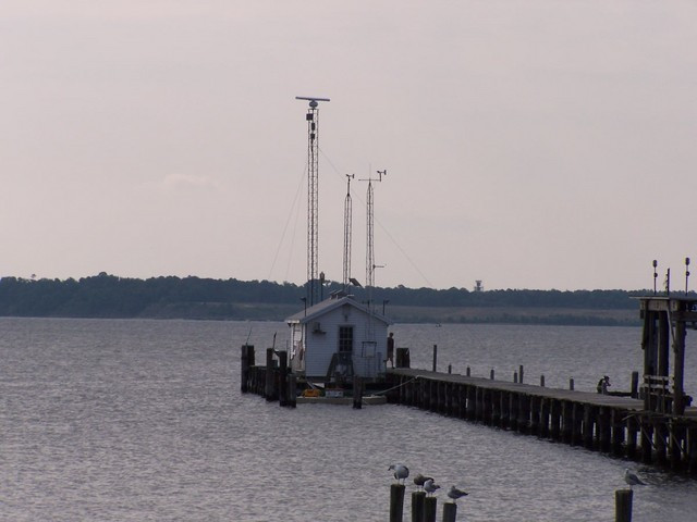
Photo albumMDSTG
BibliographyMDSTG
If you have a relevant reference to suggest, please send-us an e-mail : sonel@sonel.org-
 Liu, Zhou, 2025. Deciphering Relative Sea-Level Change in Chesapeake Bay: Impact of Global Mean, Regional Variation, and Local Land Subsidence, Part 1: Methodology. Water.


