
BREST
Contributing agency

Station summaryGUIP


| IGS-type acronym : | GUIP00FRA |
| Latitude : | 48.44460000 |
| Longitude : | -4.41182300 |
| Installed date : | 2002-10-18 |
| Decommissioned date : | |
| Country : | FRANCE |
| City: | BREST |
| Station status : | active (green) |
| Distance to Tide Gauge (m) : | 9213 |
| Domes Nr.: | 10004M501 |
| Station operator: | Unknown |
| IGS-like station form : |
GPS position times seriesGUIP
(Reference epoch: )
| M | Material change or malfunction |
| E | Earthquake |
| RF | Reference Frame change |
| U | Unknown |
| NA | Not available |
| Position discontinuity | |
| Velocity discontinuity |
Data available at SONELGUIP
Quality plots on RINEX filesGUIP
 |
 |
Plots generated using software developed with the EPN team at ROB |
| Observations & tracking performance | Satellite tracking |
 (this operation may take 20 to 45s)
The satellite tracking graph has been calculated for all stations for the first day of each month. If you wish to have a graph for another date, choose the 'Calculate a specific date' option.
Comparison with satellite altimetry data
- Link to Sea Level Differences (Satellite altimetry minus tide gauge data).
Co-located instrumentsGUIP
- GPS : Brest (BRST)
- Tide gauge : BREST (BREST)
- GPS : Bourg Blanc (BGBC)
Leveling & DatumsGUIP
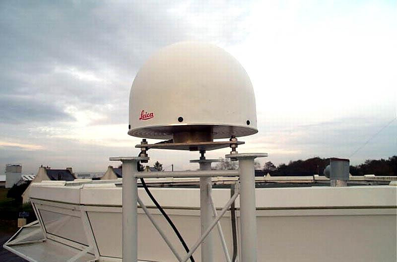
Photo albumGUIP

BibliographyGUIP
If you have a relevant reference to suggest, please send-us an e-mail : sonel@sonel.org-
 Douglas, 2008. Concerning Evidence for Fingerprints of Glacial Melting. Journal of Coastal Research.

-
Miller, Douglas, 2007. Gyre-scale atmospheric pressure variations and their relation to 19th
and 20th century sea level rise. Geophysical Research Letters.
-
Poitevin, Wöppelmann et al., 2019. Vertical land motion and relative sea level changes along the coastline of Brest (France) from combined space-borne geodetic methods. Remote Sensing of Environment.
-
Pouvreau, 2006. Evolution of the tidal semi-diurnal constituent M2 at Brest from 1846 to 2005. C. R. Geoscience.
-
Rossi, Horton et al., 2011. The application of foraminifera to reconstruct the rate of 20th century sea level rise, Morbihan Golfe, Brittany, France. Quaternary Research.
-
Woodworth, Pouvreau et al., 2010. The gyre-scale circulation of the North Atlantic and sea level at Brest. Ocean Science.
-
Woodworth, 1999. High waters at Liverpool since 1768: the UK's longest sea level record. Geophysical Research Letters.
-
Woppelmann, Pouvreau et al., 2006. Brest sea level record: a time series construction back to the early eighteenth century. Ocean Dynamics.
-
Woppelmann, Pouvreau et al., 2008. Tide gauge datum continuity at Brest since 1711: France’s longest sea level
record. Geophysical Research Letters.
Log bookGUIP
[RGPmail] - 2020-02-11 (18/03/2020)
Les données de la station GUIP (29, Finistère) sont de nouveau disponibles depuis la session 29p.
Les données manquantes ne pourront pas être récupérées.
2020-01-22 (22/01/2020)
GUIP is down since the 22nd of December 2019 at 23:01.
IGN (Tanguy Garmont) will be on site during week 5 2020 to do a maintenance. Cbale and/or antenna might be changed. The receiver seems to be working all right. E.Poirier
[EUREFmail-10098] - 2019-12-26 (03/01/2020)
Due to a malfunction of the receiver or the antenna, the date from
GUIP00FRA are not available anymore.
Even after a receiver reboot and a motor engine initilization, no
satellites are tracked.
Equipment will probably be changed in a couple of weeks.
[RGPmail] - 2018-06-12 (13/06/2018)
Due to a planned maintenance, the GUIP station (and data) will be unavailable on the 19th (morning) of June.
[EUREFmail-6779] - 2013-01-21 (21/01/2013)
Following the problem encountered by Leica receivers last week, SBAS
satellites have been desactivated except EGNOS constellation satellites.
The stations concerned are BSCN (25), EGLT (19), GUIP (29), MARS (13), =
SCOA (64) et VFCH (41) in France.
[EUREFmail-6776] - 2013-01-18 (18/01/2013)
Receivers of stations BSCN(Besancon), SCOA (Ciboure), VFCH (Villefranche-sur-Cher), MARS (Marseille), EGLT (Egletons) and GUIP (Guipavas) in France have encountering some problems yesterday.
The problem has been fixed this morning and data are now available.
Nevertheless, data between sessions 017o and 018h are definitively lost.


