TACLOBAN
Contributing agency

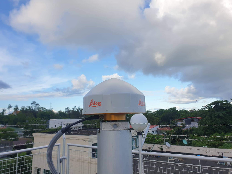
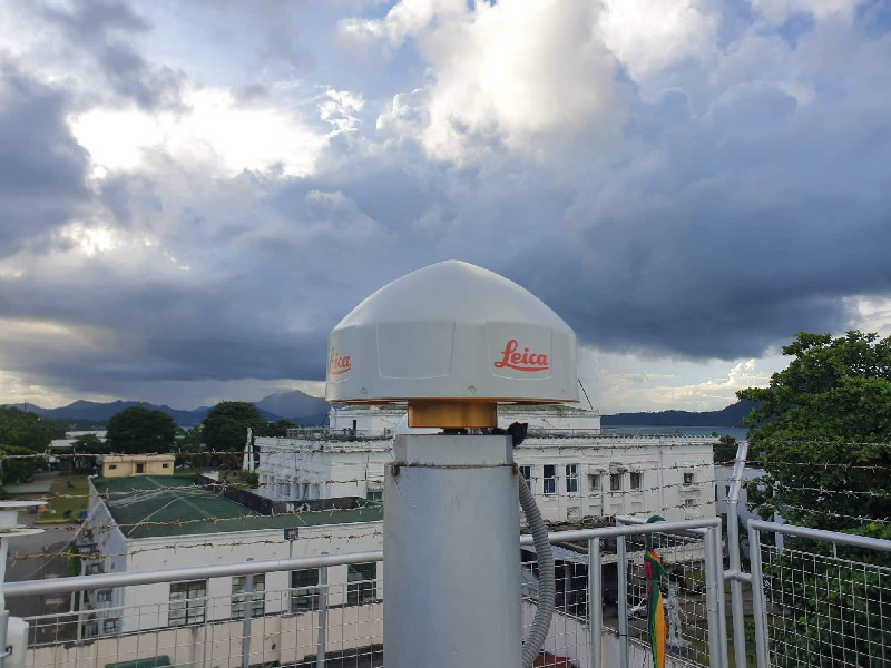
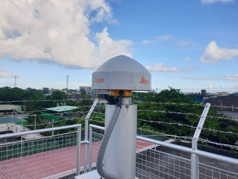
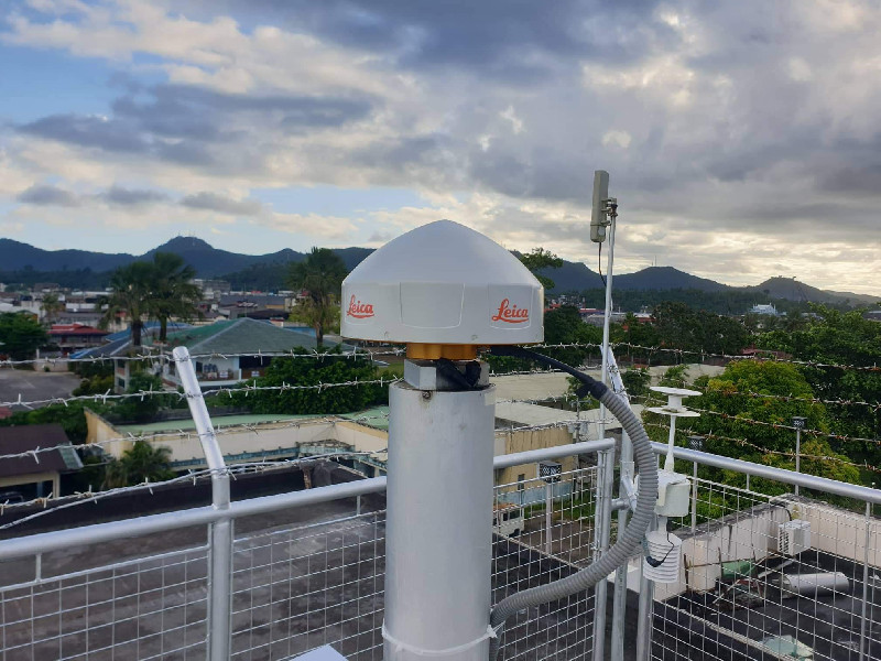
Station summaryPTAC


| IGS-type acronym : | PTAC00PHL |
| Latitude : | 11.24989128 |
| Longitude : | 125.00423121 |
| Installed date : | 2010-09-12 |
| Decommissioned date : | |
| Country : | PHILIPPINES |
| City: | LEYTE |
| Station status : | Survey (blue) |
| Distance to Tide Gauge (m) : | 516 |
| Domes Nr.: | 22018M001 |
| Station operator: | (NAMRIA) - National Mapping and Resource Information Authority |
| IGS-like station form : |
Co-located instrumentsPTAC
- Tide gauge : TACLOBAN (TACLO)
Photo albumPTAC