
HONOLULU
Station summaryHNLC

GNSS-IR


| IGS-type acronym : | HNLC00USA |
| Latitude : | 21.30328737 |
| Longitude : | -157.86454399 |
| Installed date : | 1997-06-17 |
| Decommissioned date : | |
| Country : | U.S.A. |
| City: | HONOLULU |
| Station status : | active (green) |
| Distance to Tide Gauge (m) : | 1 |
| Domes Nr.: | 49970S001 |
| Station operator: | Unknown |
| IGS-like station form : |
GPS position times seriesHNLC
Position
(Reference epoch: )
(Reference epoch: )
Offsets (mm)
| M | Material change or malfunction |
| E | Earthquake |
| RF | Reference Frame change |
| U | Unknown |
| NA | Not available |
| Position discontinuity | |
| Velocity discontinuity |
Data available at SONELHNLC
Quality plots on RINEX filesHNLC
 |
 |
Plots generated using software developed with the EPN team at ROB |
| Observations & tracking performance | Satellite tracking |
 (this operation may take 20 to 45s)
The satellite tracking graph has been calculated for all stations for the first day of each month. If you wish to have a graph for another date, choose the 'Calculate a specific date' option.
Comparison with satellite altimetry data
- Link to Sea Level Differences (Satellite altimetry minus tide gauge data).
Co-located instrumentsHNLC
- Tide gauge : HONOLULU (HNLTG)
- GPS : Honolulu WASS 1 (ZHN1)
- GPS : POST Building (POST)
Leveling & DatumsHNLC
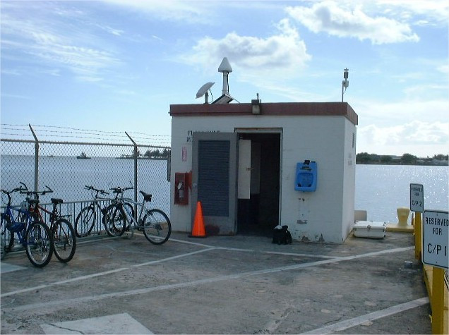
Photo albumHNLC
BibliographyHNLC
If you have a relevant reference to suggest, please send-us an e-mail : sonel@sonel.org-
 Caccamise II, Merrifield et al., 2005. Sea level rise at Honolulu and Hilo, Hawaii: GPS estimates of differential land motion. Geophysical Research Letters.

-
Yang, Francis, 2019. Sea-Level Rise and Vertical Land Motion on the Islands of Oahu and Hawaii, Hawaii. Advances in Space Research.


