
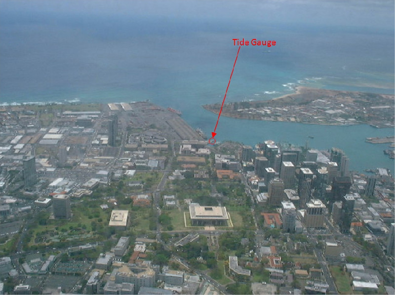
HONOLULU
Station summary


Links to data sources

Comparison with satellite altimetry data
- Link to Sea Level Differences (Satellite altimetry minus tide gauge data).
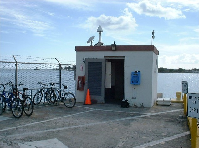
Co-located instrumentsHNLTG
- GPS : Honolulu (HNLC)
- GPS : Honolulu WASS 1 (ZHN1)
- GPS : POST Building (POST)
Leveling & DatumsHNLTG
Photo albumHNLTG
BibliographyHNLTG
If you have a relevant reference to suggest, please send-us an e-mail : sonel@sonel.org-
 Caccamise II, Merrifield et al., 2005. Sea level rise at Honolulu and Hilo, Hawaii: GPS estimates of differential land motion. Geophysical Research Letters.

-
Yang, Francis, 2019. Sea-Level Rise and Vertical Land Motion on the Islands of Oahu and Hawaii, Hawaii. Advances in Space Research.


