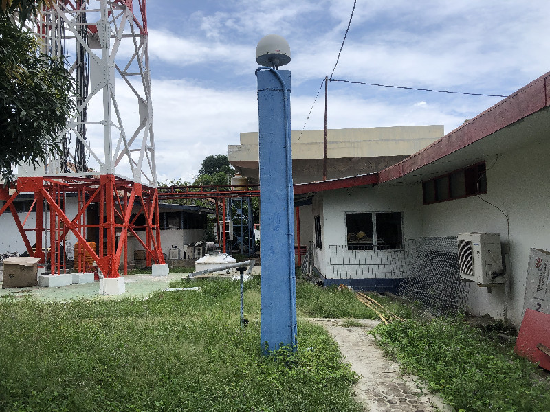
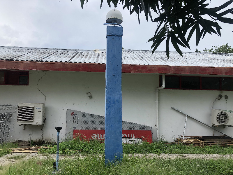
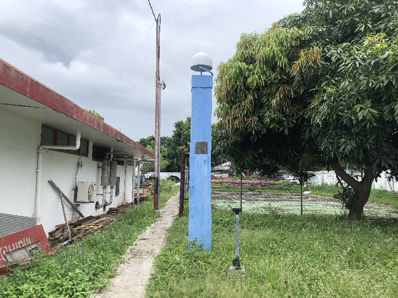
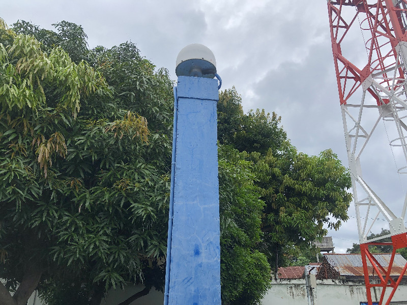
MAUMERE
Contributing agency

Station summaryCMRE


| IGS-type acronym : | CMRE00IDN |
| Latitude : | -8.62749800 |
| Longitude : | 122.21963600 |
| Installed date : | 2009-11-04 |
| Decommissioned date : | |
| Country : | INDONESIA |
| City: | MAUMERE |
| Station status : | No data for 30 days (orange) |
| Distance to Tide Gauge (m) : | 1030 |
| Domes Nr.: | 23127M001 |
| Station operator: | (BIG) - Badan Informasi Geospasial |
| IGS-like station form : |
Data available at SONELCMRE
Quality plots on RINEX filesCMRE
 |
 |
Plots generated using software developed with the EPN team at ROB |
| Observations & tracking performance | Satellite tracking |
 (this operation may take 20 to 45s)
The satellite tracking graph has been calculated for all stations for the first day of each month. If you wish to have a graph for another date, choose the 'Calculate a specific date' option.
Co-located instrumentsCMRE
- Tide gauge : Maumere (MMERE)
Photo albumCMRE