
SOGWIPO
Contributing agency

Station summaryJEJU


| IGS-type acronym : | JEJU00KOR |
| Latitude : | 33.28830000 |
| Longitude : | 126.46210000 |
| Installed date : | |
| Decommissioned date : | |
| Country : | REPUBLIC OF KOREA |
| City: | SOGWIPO |
| Station status : | active (green) |
| Distance to Tide Gauge (m) : | 11497 |
| Domes Nr.: | |
| Station operator: | Unknown |
| IGS-like station form : |
GPS position times seriesJEJU
Position
(Reference epoch: )
(Reference epoch: )
Offsets (mm)
| M | Material change or malfunction |
| E | Earthquake |
| RF | Reference Frame change |
| U | Unknown |
| NA | Not available |
| Position discontinuity | |
| Velocity discontinuity |
Data available at SONELJEJU
Quality plots on RINEX filesJEJU
 |
 |
Plots generated using software developed with the EPN team at ROB |
| Observations & tracking performance | Satellite tracking |
 (this operation may take 20 to 45s)
The satellite tracking graph has been calculated for all stations for the first day of each month. If you wish to have a graph for another date, choose the 'Calculate a specific date' option.
Co-located instrumentsJEJU
- Tide gauge : SOGWIPO (JEJTG)
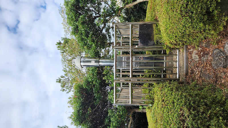
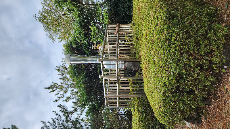
Photo albumJEJU
BibliographyJEJU
If you have a relevant reference to suggest, please send-us an e-mail : sonel@sonel.org-
 Ying-Qu, Yong-Gang-Liu et al., 2020. Future sea level rise along the coast of China and adjacent region under 1.5 °C and 2.0 °C global warming. Advances in Climate Change Research.


-
Ying-Qu, Svetlana-Jevrejeva et al., 2019. Coastal Sea level rise around the China Seas. Global and Planetary Change.


