
SAINT-PAUL
Contributing agency


Station summarySPTG

GNSS-IR


| IGS-type acronym : | SPTG00ATF |
| Latitude : | -38.71433056 |
| Longitude : | 77.53136667 |
| Installed date : | 2011-12-20 |
| Decommissioned date : | 2018-12-02 |
| Country : | FRANCE |
| City: | SAINT-PAUL |
| Station status : | Decommissioned (white and red cross) |
| Distance to Tide Gauge (m) : | 1 |
| Domes Nr.: | 91402M001 |
| Station operator: | (IGN) - Institut National de l'Information Géographique et Forestière |
| IGS-like station form : |
GPS position times seriesSPTG
Position
(Reference epoch: )
(Reference epoch: )
Offsets (mm)
| M | Material change or malfunction |
| E | Earthquake |
| RF | Reference Frame change |
| U | Unknown |
| NA | Not available |
| Position discontinuity | |
| Velocity discontinuity |
Data available at SONELSPTG
Quality plots on RINEX filesSPTG
 |
 |
Plots generated using software developed with the EPN team at ROB |
| Observations & tracking performance | Satellite tracking |
 (this operation may take 20 to 45s)
The satellite tracking graph has been calculated for all stations for the first day of each month. If you wish to have a graph for another date, choose the 'Calculate a specific date' option.
Co-located instrumentsSPTG
- Tide gauge : SAINT-PAUL (SPAUL)
- GPS : Saint-Paul 2 (SPT2)
Leveling & DatumsSPTG
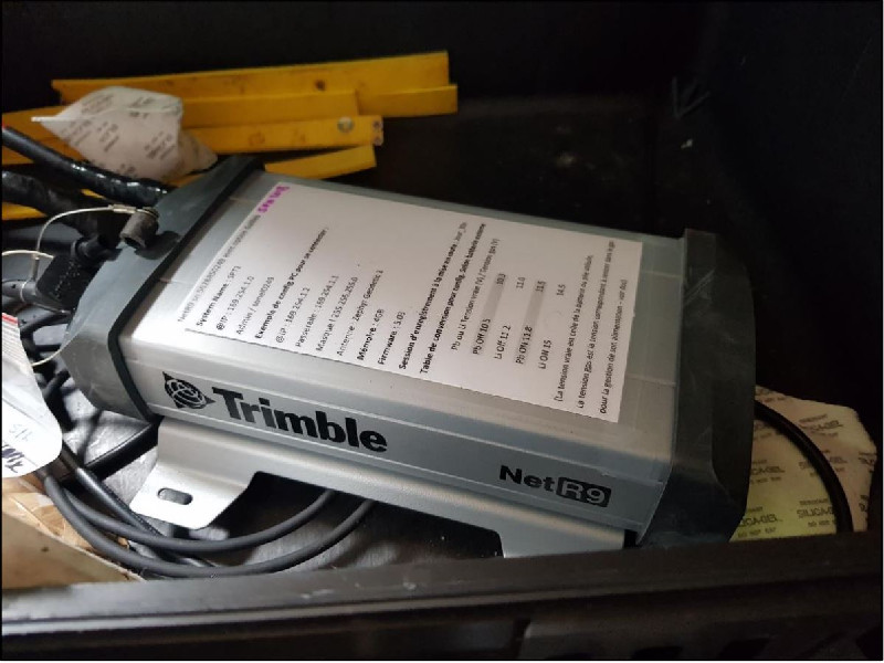
Photo albumSPTG


BibliographySPTG
If you have a relevant reference to suggest, please send-us an e-mail : sonel@sonel.org-
 Guillot, Santamaría-Gómez, 2018. CR Rotation NIVMER. DT INSU, SONEL.
-
Henry, 2023. Sensor Inter-Comparison Analysis at Saint-Paul Island.

-
Smithers, Woodroffe, 2001. Coral microatolls and 20th century sea level in the eastern Indian Ocean. Earth and Planetary Science Letters.
-
Testut, 2013. Observation du niveau de la mer dans le cratère de Saint-Paul, Océan Indien. Revue Géologues.
-
Testut, Martin Miguez, 2010. Sea level at Saint Paul Island, southern Indian Ocean, from 1874 to the present. Journal of Geophysical Research.


