
ST MICHAEL
Station summaryAT01

GNSS-IR


| IGS-type acronym : | AT0100USA |
| Latitude : | 63.48404500 |
| Longitude : | -162.00640100 |
| Installed date : | 2018-05-24 |
| Decommissioned date : | |
| Country : | U.S.A. |
| City: | ST MICHAEL |
| Station status : | active (green) |
| Domes Nr.: | |
| Station operator: | Unknown |
| IGS-like station form : |
GPS position times seriesAT01
Position
(Reference epoch: )
(Reference epoch: )
Offsets (mm)
| M | Material change or malfunction |
| E | Earthquake |
| RF | Reference Frame change |
| U | Unknown |
| NA | Not available |
| Position discontinuity | |
| Velocity discontinuity |
Data available at SONELAT01
Quality plots on RINEX filesAT01
 |
 |
Plots generated using software developed with the EPN team at ROB |
| Observations & tracking performance | Satellite tracking |
 (this operation may take 20 to 45s)
The satellite tracking graph has been calculated for all stations for the first day of each month. If you wish to have a graph for another date, choose the 'Calculate a specific date' option.
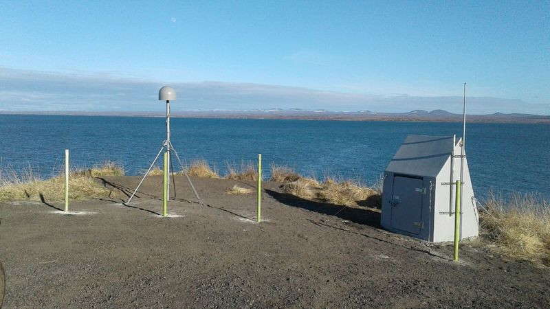
Photo albumAT01
BibliographyAT01
If you have a relevant reference to suggest, please send-us an e-mail : sonel@sonel.org-
 Yang, Chen et al., 2026. A fusion method of GNSS-IR sea surface height using the Carrier and SNR. IEEE Journal of Selected Topics in Applied Earth Observations and Remote Sensing.


