
BALTIMORE
Station summaryBACO


| IGS-type acronym : | BACO00USA |
| Latitude : | 39.39946323 |
| Longitude : | -76.60679408 |
| Installed date : | 1999-03-29 |
| Decommissioned date : | |
| Country : | U.S.A. |
| City: | BALTIMORE |
| Station status : | active (green) |
| Distance to Tide Gauge (m) : | 14946 |
| Domes Nr.: | |
| Station operator: | Unknown |
| IGS-like station form : |
GPS position times seriesBACO
Position
(Reference epoch: )
(Reference epoch: )
Offsets (mm)
| M | Material change or malfunction |
| E | Earthquake |
| RF | Reference Frame change |
| U | Unknown |
| NA | Not available |
| Position discontinuity | |
| Velocity discontinuity |
Data available at SONELBACO
Quality plots on RINEX filesBACO
 |
 |
Plots generated using software developed with the EPN team at ROB |
| Observations & tracking performance | Satellite tracking |
 (this operation may take 20 to 45s)
The satellite tracking graph has been calculated for all stations for the first day of each month. If you wish to have a graph for another date, choose the 'Calculate a specific date' option.
Comparison with satellite altimetry data
- Link to Sea Level Differences (Satellite altimetry minus tide gauge data).
Co-located instrumentsBACO
- Tide gauge : BALTIMORE (SA1TG)
- GPS : University of Maryland, Baltimore (SA15)
- GPS : U Of Md Balt Coop (UMBC)
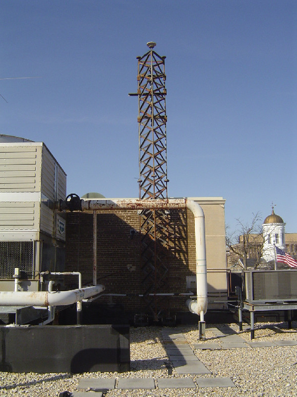
Photo albumBACO
BibliographyBACO
If you have a relevant reference to suggest, please send-us an e-mail : sonel@sonel.org-
 Liu, Zhou, 2025. Deciphering Relative Sea-Level Change in Chesapeake Bay: Impact of Global Mean, Regional Variation, and Local Land Subsidence, Part 1: Methodology. Water.


