
HELGOLAND ISLAND
Contributing agency

Station summaryHELG


| IGS-type acronym : | HELG00DEU |
| Latitude : | 54.17448095 |
| Longitude : | 7.89309103 |
| Installed date : | 1999-11-09 |
| Decommissioned date : | |
| Country : | GERMANY |
| City: | HELGOLAND ISLAND |
| Station status : | active (green) |
| Distance to Tide Gauge (m) : | 150 |
| Domes Nr.: | 14264M001 |
| Station operator: | (BKG) - Bundesamt für Kartographie und Geodäsie |
| IGS-like station form : |
GPS position times seriesHELG
Position
(Reference epoch: )
(Reference epoch: )
Offsets (mm)
| M | Material change or malfunction |
| E | Earthquake |
| RF | Reference Frame change |
| U | Unknown |
| NA | Not available |
| Position discontinuity | |
| Velocity discontinuity |
Data available at SONELHELG
Quality plots on RINEX filesHELG
 |
 |
Plots generated using software developed with the EPN team at ROB |
| Observations & tracking performance | Satellite tracking |
 (this operation may take 20 to 45s)
The satellite tracking graph has been calculated for all stations for the first day of each month. If you wish to have a graph for another date, choose the 'Calculate a specific date' option.
Co-located instrumentsHELG
- Tide gauge : HELGOLAND SÜDHAFEN (HELTG)
- GPS : Helgoland Island / Germany (HEL2)
- Tide gauge : HELGOLAND BINNENHAFEN (HELBH)
- GPS : Pegel Helgoland Binnenhafen (HEBI)
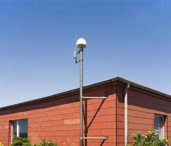
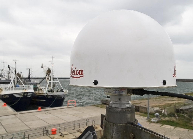
Photo albumHELG
BibliographyHELG
If you have a relevant reference to suggest, please send-us an e-mail : sonel@sonel.org-
 Esselborn, Schöne et al., 2022. Validation of Recent Altimeter Missions at Non-Dedicated Tide Gauge Stations in the Southeastern North Sea. Remote Sensing.


Log bookHELG
[EUREFmail-9538] - 2018-09-12 (13/09/2018)
Yesterday (2018-09-11) at station HELG 14264M001 we changed the receiver a=
nd the antenna (LEIAR25.R4 to LEIAR25.R4).
2 antenna calibration sets are available: ROBOTER and CHAMBER.
The ATX Files were sent to EPN CB.


