
NY-ALESUND
Station summaryNYAL


| IGS-type acronym : | NYAL00NOR |
| Latitude : | 78.92958447 |
| Longitude : | 11.86508537 |
| Installed date : | 1993-01-01 |
| Decommissioned date : | |
| Country : | NORWAY |
| City: | NY-ALESUND |
| Station status : | active (green) |
| Distance to Tide Gauge (m) : | 1500 |
| Domes Nr.: | 10317M001 |
| Station operator: | Unknown |
| IGS-like station form : |
GPS position times seriesNYAL
(Reference epoch: )
| M | Material change or malfunction |
| E | Earthquake |
| RF | Reference Frame change |
| U | Unknown |
| NA | Not available |
| Position discontinuity | |
| Velocity discontinuity |
Data available at SONELNYAL
Quality plots on RINEX filesNYAL
 |
 |
Plots generated using software developed with the EPN team at ROB |
| Observations & tracking performance | Satellite tracking |
 (this operation may take 20 to 45s)
The satellite tracking graph has been calculated for all stations for the first day of each month. If you wish to have a graph for another date, choose the 'Calculate a specific date' option.
Co-located instrumentsNYAL
- GPS : Ny-Alesund (NYA1)
- Tide gauge : NY-ALESUND (NYATG)
- GPS : Ny-Alesund GGN L2C (NYAC)
- GPS : NY-ALESUND (NYA2)
- GPS : NY-ALESUND (NABG)
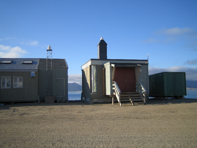
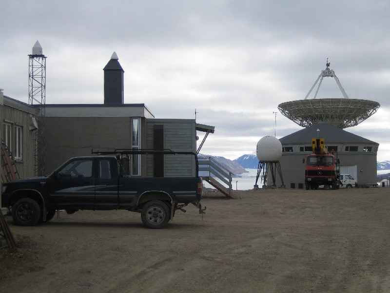
Photo albumNYAL
BibliographyNYAL
If you have a relevant reference to suggest, please send-us an e-mail : sonel@sonel.org-
 Rose, Andersen et al., 2019. Arctic Ocean Sea Level Record from the Complete Radar Altimetry Era: 1991–2018. Remote Sensing.


Log bookNYAL
[IGSSTATION-7787] - 2019-10-31 (07/11/2019)
Stations TRO100NOR and NYAL00NOR have been updated to firmware 5.43 (Trimble NetR9).
[IGSSTATION-7758] - 2019-10-08 (09/10/2019)
NYAL has been upgraded to a Trimble NetR9 receiver running firmware 5.42. The new receiver tracks GPS, GLO, GAL, BDS, QZS.
[IGSSTATION-7113] - 2017-08-31 (19/09/2017)
Due to technical issues during monthly maintenance today, hourly files for hour 15 today will not be generated for the Norwegian GNSS stations. Daily files should only suffer a few minutes data loss.
For IGS, the affected stations are: NYAL, NYA1, TRO1
For EUREF, the affected stations are: NYAL, NYA1, OSLS, STAS, TRDS, TRO1, VARS


