
SEYCHELLES
Contributing agency

Station summarySEY1


| IGS-type acronym : | SEY100SYC |
| Latitude : | -4.67371921 |
| Longitude : | 55.47940389 |
| Installed date : | 1995-05-15 |
| Decommissioned date : | 2016-03-04 |
| Country : | SEYCHELLES |
| City: | LA MISERE |
| Station status : | Decommissioned (white and red cross) |
| Distance to Tide Gauge (m) : | 5558 |
| Domes Nr.: | 39801M001 |
| Station operator: | Unknown |
| IGS-like station form : |
GPS position times seriesSEY1
Position
(Reference epoch: )
(Reference epoch: )
Offsets (mm)
| M | Material change or malfunction |
| E | Earthquake |
| RF | Reference Frame change |
| U | Unknown |
| NA | Not available |
| Position discontinuity | |
| Velocity discontinuity |
Data available at SONELSEY1
Quality plots on RINEX filesSEY1
 |
 |
Plots generated using software developed with the EPN team at ROB |
| Observations & tracking performance | Satellite tracking |
 (this operation may take 20 to 45s)
The satellite tracking graph has been calculated for all stations for the first day of each month. If you wish to have a graph for another date, choose the 'Calculate a specific date' option.
Comparison with satellite altimetry data
- Link to Sea Level Differences (Satellite altimetry minus tide gauge data).
Co-located instrumentsSEY1
- Doris : MAHE (MAIB)
- Tide gauge : POINTE LARUE (MAHPL)
- GPS : MAHE (SEYG)
- GPS : Seychelles (SEY2)
Leveling & DatumsSEY1
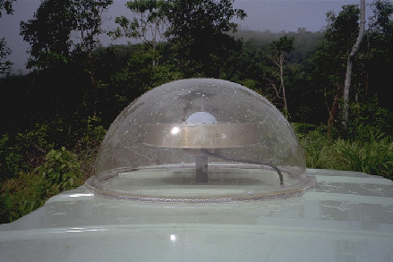
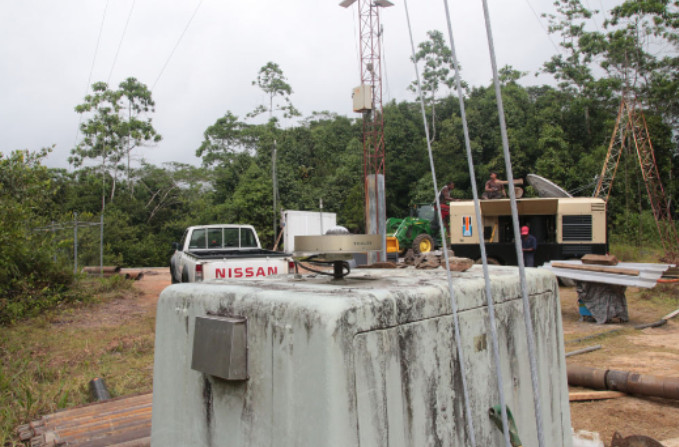
Photo albumSEY1
BibliographySEY1
If you have a relevant reference to suggest, please send-us an e-mail : sonel@sonel.org-
 Panina, Zaitsev, 2016. The recent structure of Mahe Island (the Seychelles archipelago). Moscow University Geology Bulletin.


Log bookSEY1
[IGSSTATION-5482] - 2013-07-23 (29/07/2013)
The Mahe Island, Seychelles (SEY1) IGS station recently experienced
a receiver failure. The failure caused a data gap from 2013-05-23T16:18Z
to 2013-07-22T14:30Z. A replacement receiver is now installed and an
updated site log will be published shortly.
[IGSSTATION-5417] - 2013-05-16 (17/05/2013)
The Mahe Island, Seychelles (SEY1) IGS station has been repaired.
The station suffered a long network outage along with a receiver failure.
The C


