BETIO ISLAND, KIRIBATI
Station summary


Link to DORIS data (international service IDS)
Co-located instrumentsBETB
- GPS : Betio Island, Kiribati (KIRI)
- Tide gauge : TARAWA-C (BETIO)
- Tide gauge : TARAWA-A, BETIO (TARAA)
- Tide gauge : BETIO (BETI1)
- GPS : Kiribati (KIRG)
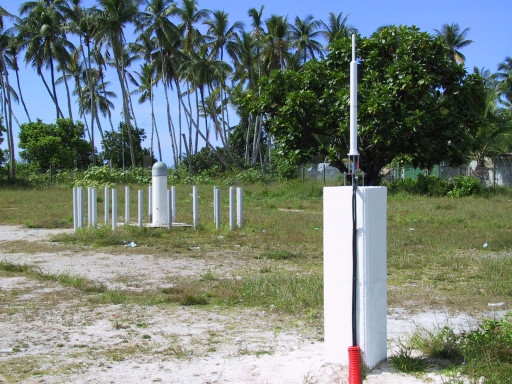
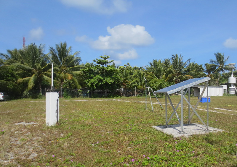
Photo albumBETB