
MALAGA
Contributing agency

Station summaryMALA


| IGS-type acronym : | MALA00ESP |
| Latitude : | 36.72611237 |
| Longitude : | -4.39353037 |
| Installed date : | 2000-03-15 |
| Decommissioned date : | |
| Country : | SPAIN |
| City: | MALAGA |
| Station status : | active (green) |
| Distance to Tide Gauge (m) : | 2381 |
| Domes Nr.: | 13443M001 |
| Station operator: | Unknown |
| IGS-like station form : |
GPS position times seriesMALA
Position
(Reference epoch: )
(Reference epoch: )
Offsets (mm)
| M | Material change or malfunction |
| E | Earthquake |
| RF | Reference Frame change |
| U | Unknown |
| NA | Not available |
| Position discontinuity | |
| Velocity discontinuity |
Data available at SONELMALA
Quality plots on RINEX filesMALA
 |
 |
Plots generated using software developed with the EPN team at ROB |
| Observations & tracking performance | Satellite tracking |
 (this operation may take 20 to 45s)
The satellite tracking graph has been calculated for all stations for the first day of each month. If you wish to have a graph for another date, choose the 'Calculate a specific date' option.
Comparison with satellite altimetry data
- Link to Sea Level Differences (Satellite altimetry minus tide gauge data).
Co-located instrumentsMALA
Leveling & DatumsMALA
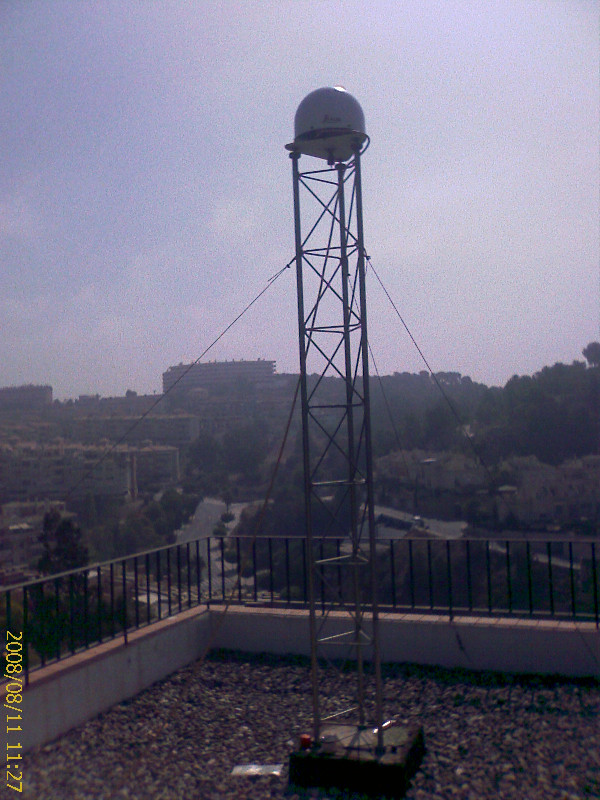
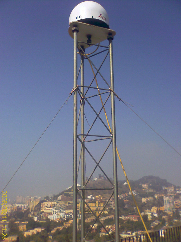
Photo albumMALA
Log bookMALA
[EUREFmail-8346] - 2016-02-03 (04/02/2016)
Due to a power failure, hourly data of DOY 31 and DOY 32 (A,B,C,D,E,F,G,H)
of MALA EPN station are unavailable. Also is anavailable daily data of DOY 031.
[EUREFmail-8339] - 2016-02-02 (04/02/2016)
Some missing hourly or daily data from our MALA station are not recoverable due to a power failure. From DOY030 (t-x), DOY031 and DOY032 (a-h).
[EUREFmail-6841] - 2013-03-05 (11/03/2013)
Due to a hard storm in Malaga, part of the site devices have suffered damages. We are working to solve problems as soon as posible.
Data from hour D of 059 DOY are lost.


