
GIBRALTAR
Contributing agency

Station summaryGIBR

GNSS-IR


| IGS-type acronym : | GIBR00GIB |
| Latitude : | 36.14819000 |
| Longitude : | -5.36490000 |
| Installed date : | 2009-11-29 |
| Decommissioned date : | |
| Country : | UK |
| City: | GIBRALTAR |
| Station status : | active (green) |
| Distance to Tide Gauge (m) : | 5 |
| Domes Nr.: | 13301M001 |
| Station operator: |
WILLIAMS Simon
(NOC) - National Oceanography Centre |
| IGS-like station form : |
GPS position times seriesGIBR
Position
(Reference epoch: )
(Reference epoch: )
Offsets (mm)
| M | Material change or malfunction |
| E | Earthquake |
| RF | Reference Frame change |
| U | Unknown |
| NA | Not available |
| Position discontinuity | |
| Velocity discontinuity |
Data available at SONELGIBR
Quality plots on RINEX filesGIBR
 |
 |
Plots generated using software developed with the EPN team at ROB |
| Observations & tracking performance | Satellite tracking |
 (this operation may take 20 to 45s)
The satellite tracking graph has been calculated for all stations for the first day of each month. If you wish to have a graph for another date, choose the 'Calculate a specific date' option.
Co-located instrumentsGIBR
- Tide gauge : GIBRALTAR (GIBTG)
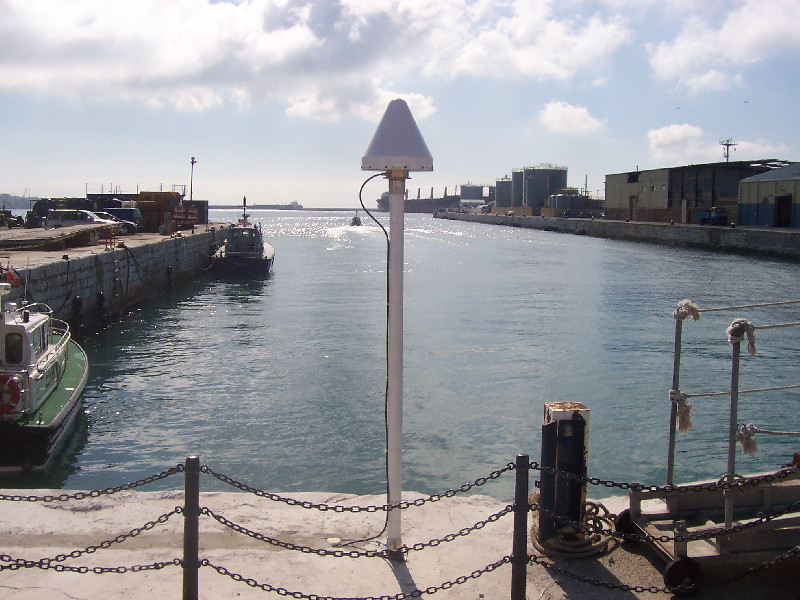
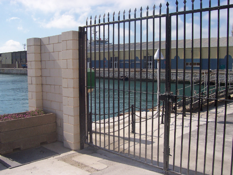
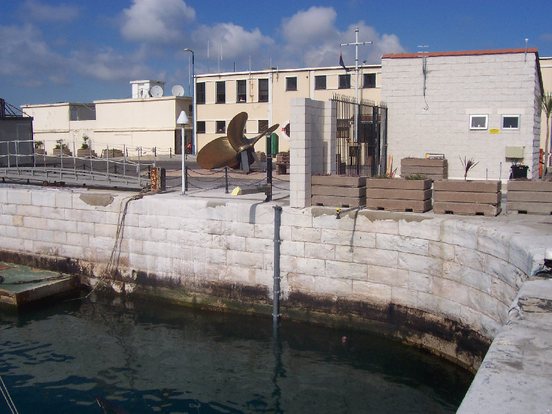
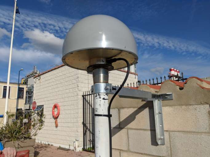
Photo albumGIBR


BibliographyGIBR
If you have a relevant reference to suggest, please send-us an e-mail : sonel@sonel.org-
 Woodworth, Hibbert, 2015. Sea-level monitoring in the British verseas Territories. Journal of Operational Oceanography.


