
ANGRA DO HEROISMO
Station summaryTERC


| IGS-type acronym : | TERC00PRT |
| Latitude : | 38.71899167 |
| Longitude : | -27.15299444 |
| Installed date : | 2008-09-18 |
| Decommissioned date : | |
| Country : | PORTUGAL |
| City: | ANGRA DO HEROISMO |
| Station status : | active (green) |
| Distance to Tide Gauge (m) : | 10379 |
| Domes Nr.: | 31909M001 |
| Station operator: | (DSCIG) - Direccao de Servicos de Cartografia e Informacao Geografica |
| IGS-like station form : |
GPS position times seriesTERC
Position
(Reference epoch: )
(Reference epoch: )
Offsets (mm)
| M | Material change or malfunction |
| E | Earthquake |
| RF | Reference Frame change |
| U | Unknown |
| NA | Not available |
| Position discontinuity | |
| Velocity discontinuity |
Data available at SONELTERC
Quality plots on RINEX filesTERC
 |
 |
Plots generated using software developed with the EPN team at ROB |
| Observations & tracking performance | Satellite tracking |
 (this operation may take 20 to 45s)
The satellite tracking graph has been calculated for all stations for the first day of each month. If you wish to have a graph for another date, choose the 'Calculate a specific date' option.
Co-located instrumentsTERC
- Tide gauge : ANGRA DO HEROISMO (ANGRA)
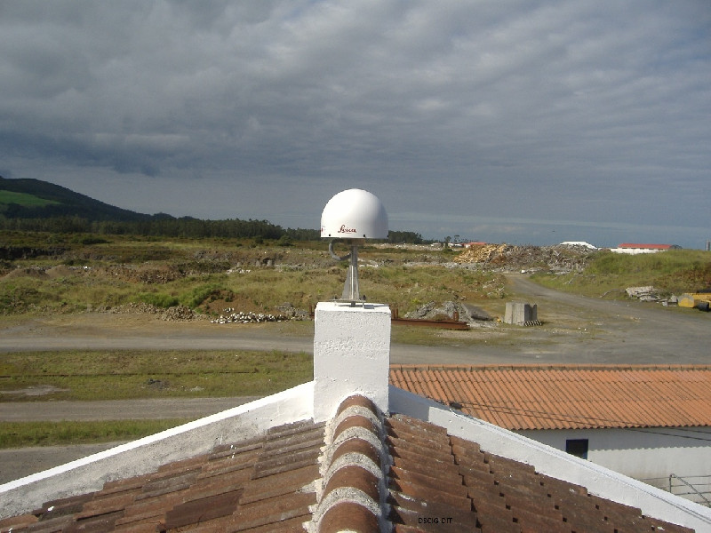
Photo albumTERC
Log bookTERC
[EUREFmail-9219] - 2017-12-06 (13/12/2017)
Due to network problems, data between DOY 335 and 337 are missing.
[EUREFmail-7562] - 2014-08-01 (04/08/2014)
TERC data for DOY: 095, 096, 206, 207, 208 and 208 was lost to changes in the server.


