
TORSHAVN
Station summaryARGI


| IGS-type acronym : | ARGI00FRO |
| Latitude : | 61.99736900 |
| Longitude : | -6.78351900 |
| Installed date : | 2008-09-25 |
| Decommissioned date : | |
| Country : | FAROE ISLANDS |
| City: | |
| Station status : | active (green) |
| Distance to Tide Gauge (m) : | 1456 |
| Domes Nr.: | 10117M002 |
| Station operator: | Unknown |
| IGS-like station form : |
GPS position times seriesARGI
Position
(Reference epoch: )
(Reference epoch: )
Offsets (mm)
| M | Material change or malfunction |
| E | Earthquake |
| RF | Reference Frame change |
| U | Unknown |
| NA | Not available |
| Position discontinuity | |
| Velocity discontinuity |
Data available at SONELARGI
Quality plots on RINEX filesARGI
 |
 |
Plots generated using software developed with the EPN team at ROB |
| Observations & tracking performance | Satellite tracking |
 (this operation may take 20 to 45s)
The satellite tracking graph has been calculated for all stations for the first day of each month. If you wish to have a graph for another date, choose the 'Calculate a specific date' option.
Co-located instrumentsARGI
- Tide gauge : TORSHAVN (TORTG)
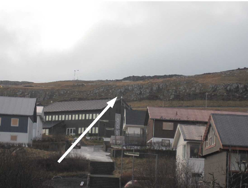
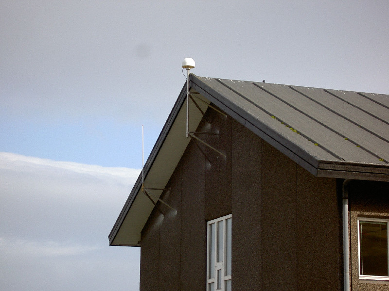
Photo albumARGI
Log bookARGI
[EUREFmail-8851] - 2017-01-04 (04/01/2017)
The stations ARGI on the Faroe Islands, had a big power failure and unfortunately some data are lost:
DOY: 360/2016 (S, T, U, V, W, X)
DOY: 361/2016 (all day)
DOY: 362/2016 (A, B, C, D, E, F, G, H, I)
DOY: 365/2016 (M, N, O, P, Q, R, S, T, U, V, W, X)
DOY: 366/2016 (all day)
DOY: 001/2017 (all day)
DOY: 002/2017 (A, B, C, D, E, F, G, H, I, J, K)
[EUREFmail-8553] - 2016-06-08 (09/06/2016)
Due to power failure data from some hours DOY 158 and DOY 159 are lost.


