
NEW YORK
Contributing agency

Station summaryNYBP

GNSS-IR


| IGS-type acronym : | NYBP00USA |
| Latitude : | 40.70106900 |
| Longitude : | -74.01432100 |
| Installed date : | 2009-04-23 |
| Decommissioned date : | |
| Country : | U.S.A. |
| City: | NEW YORK |
| Station status : | active (green) |
| Distance to Tide Gauge (m) : | 49 |
| Domes Nr.: | 49386M001 |
| Station operator: | (NGS) - National Geodetic Survey |
| IGS-like station form : |
GPS position times seriesNYBP
Position
(Reference epoch: )
(Reference epoch: )
Offsets (mm)
| M | Material change or malfunction |
| E | Earthquake |
| RF | Reference Frame change |
| U | Unknown |
| NA | Not available |
| Position discontinuity | |
| Velocity discontinuity |
Data available at SONELNYBP
Quality plots on RINEX filesNYBP
 |
 |
Plots generated using software developed with the EPN team at ROB |
| Observations & tracking performance | Satellite tracking |
 (this operation may take 20 to 45s)
The satellite tracking graph has been calculated for all stations for the first day of each month. If you wish to have a graph for another date, choose the 'Calculate a specific date' option.
Comparison with satellite altimetry data
- Link to Sea Level Differences (Satellite altimetry minus tide gauge data).
Co-located instrumentsNYBP
- Tide gauge : NEW YORK (NJITG)
- GPS : Brooklyn Pier (NYBR)
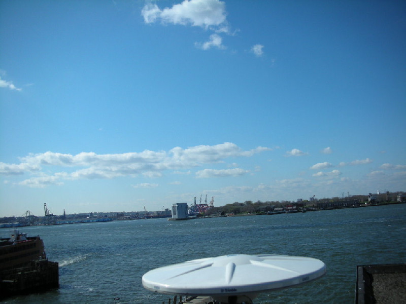
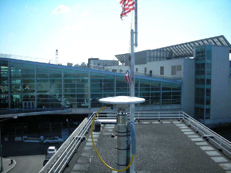
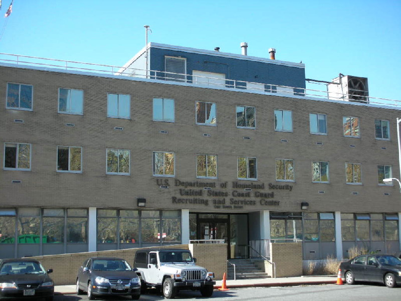
Photo albumNYBP
BibliographyNYBP
If you have a relevant reference to suggest, please send-us an e-mail : sonel@sonel.org-
 Buzzanga, Bekaert et al., 2023. Localized uplift, widespread subsidence, and implications for sea level rise in the New York City metropolitan area. Science Advances.

-
Ezer, 2013. Sea level rise, spatially uneven and temporally unsteady: Why the U.S. East Coast, the global tide gauge record, and the global altimeter data show different trends. Geophysical Research Letters.
-
Parsons, Wu et al., 2023. The Weight of New York City: Possible Contributions to Subsidence From Anthropogenic Sources. Earth s Future.


