ULSAN
Contributing agency

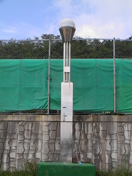
Station summaryWOLS


| IGS-type acronym : | WOLS |
| Latitude : | 35.50394672 |
| Longitude : | 129.41601450 |
| Installed date : | |
| Decommissioned date : | |
| Country : | REPUBLIC OF KOREA |
| City: | ULSAN |
| Station status : | Survey (blue) |
| Distance to Tide Gauge (m) : | 3283 |
| Domes Nr.: | |
| Station operator: | Unknown |
| IGS-like station form : |
Comparison with satellite altimetry data
- Link to Sea Level Differences (Satellite altimetry minus tide gauge data).
Co-located instrumentsWOLS
- Tide gauge : ULSAN (WOLTG)
Photo albumWOLS