
FLORES
Station summaryFLRS


| IGS-type acronym : | FLRS00PRT |
| Latitude : | 39.45384444 |
| Longitude : | -31.12638889 |
| Installed date : | 2008-04-09 |
| Decommissioned date : | |
| Country : | PORTUGAL |
| City: | FLORES |
| Station status : | active (green) |
| Distance to Tide Gauge (m) : | 158 |
| Domes Nr.: | 31907M001 |
| Station operator: | Unknown |
| IGS-like station form : |
GPS position times seriesFLRS
Position
(Reference epoch: )
(Reference epoch: )
Offsets (mm)
| M | Material change or malfunction |
| E | Earthquake |
| RF | Reference Frame change |
| U | Unknown |
| NA | Not available |
| Position discontinuity | |
| Velocity discontinuity |
Data available at SONELFLRS
Quality plots on RINEX filesFLRS
 |
 |
Plots generated using software developed with the EPN team at ROB |
| Observations & tracking performance | Satellite tracking |
 (this operation may take 20 to 45s)
The satellite tracking graph has been calculated for all stations for the first day of each month. If you wish to have a graph for another date, choose the 'Calculate a specific date' option.
Co-located instrumentsFLRS
- Tide gauge : FLORES (FLORE)
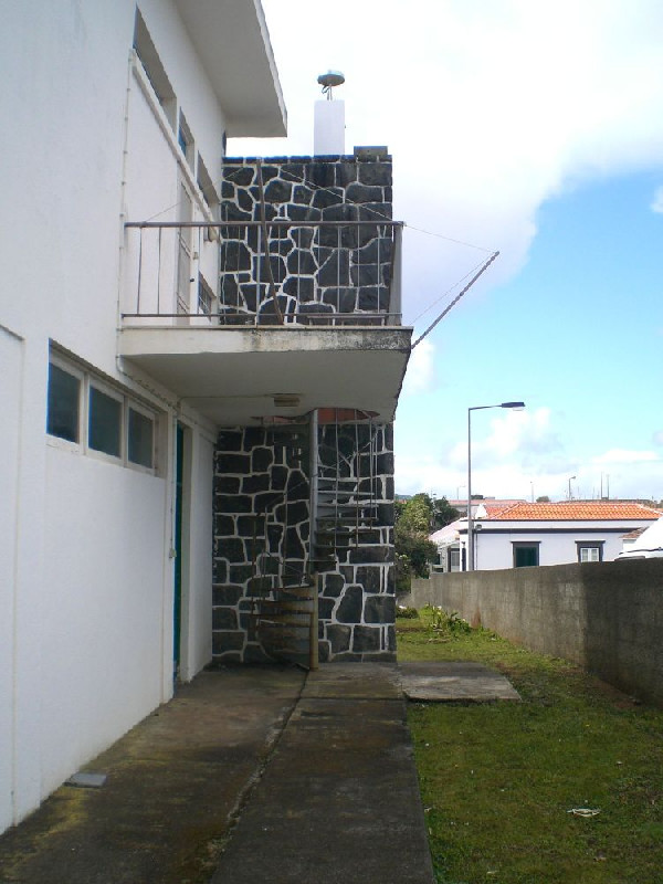
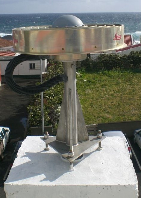
Photo albumFLRS
BibliographyFLRS
If you have a relevant reference to suggest, please send-us an e-mail : sonel@sonel.org-
 Mendes, Barbosa et al., 2017. Vertical land motion and sea level change in Macaronesia. Geophysical Journal International.

Log bookFLRS
[EUREFmail-10047] - 2019-11-14 (15/11/2019)
Due to a power failure the FLRS station has no data since DOY 2019/304 to 317l.
[EUREFmail-9285] - 2018-02-05 (16/02/2018)
Due to the need of maintenance services in the Portuguese CORS GNSS network, all
services for the stations CASC, FLRS, FUNC, GAIA, LAGO and PDEL will be
inoperative between 2018-02-14 (DOY 45) 12:00 UT and 2018-02-23 (DOY 54) 20:00 UT.
There will be no hourly files for this period.
The dayly files will be uploaded as soon as possible.


