
GLOUCESTER POINT
Contributing agency

Station summaryVAGP

GNSS-IR


| IGS-type acronym : | VAGP00USA |
| Latitude : | 37.24862132 |
| Longitude : | -76.49937324 |
| Installed date : | 2007-02-16 |
| Decommissioned date : | |
| Country : | U.S.A. |
| City: | GLOUCESTER POINT |
| Station status : | active (green) |
| Distance to Tide Gauge (m) : | 3068 |
| Domes Nr.: | 49467M002 |
| Station operator: | (NGS) - National Geodetic Survey |
| IGS-like station form : |
GPS position times seriesVAGP
Position
(Reference epoch: )
(Reference epoch: )
Offsets (mm)
| M | Material change or malfunction |
| E | Earthquake |
| RF | Reference Frame change |
| U | Unknown |
| NA | Not available |
| Position discontinuity | |
| Velocity discontinuity |
Data available at SONELVAGP
Quality plots on RINEX filesVAGP
 |
 |
Plots generated using software developed with the EPN team at ROB |
| Observations & tracking performance | Satellite tracking |
 (this operation may take 20 to 45s)
The satellite tracking graph has been calculated for all stations for the first day of each month. If you wish to have a graph for another date, choose the 'Calculate a specific date' option.
Co-located instrumentsVAGP
- GPS : Gloucester Point (GLPT)
- Tide gauge : Yorktown Uscg Training Center (GLPTG)
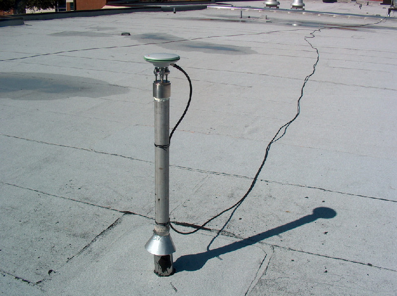
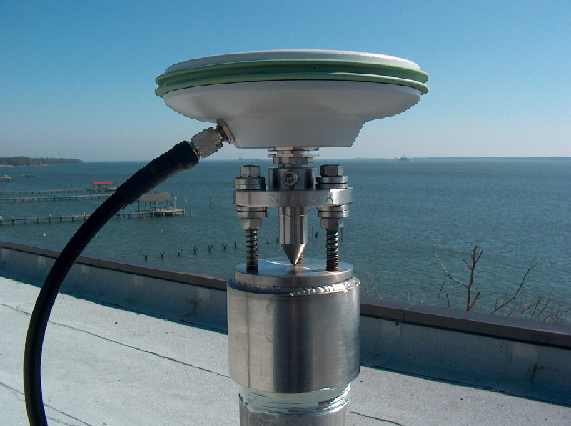
Photo albumVAGP
BibliographyVAGP
If you have a relevant reference to suggest, please send-us an e-mail : sonel@sonel.org-
 Bekaert, Hamlington et al., 2017. Spaceborne Synthetic Aperture Radar Survey of Subsidence in Hampton Roads, Virginia (USA). Scientific Reports.

History of the stationVAGP
Remplace la station GLPT


