
PORT STANVAC
Contributing agency

Station summaryPTSV


| IGS-type acronym : | PTSV00AUS |
| Latitude : | -35.09470300 |
| Longitude : | 138.48572200 |
| Installed date : | 2010-07-22 |
| Decommissioned date : | |
| Country : | AUSTRALIA |
| City: | LONSDALE |
| Station status : | active (green) |
| Distance to Tide Gauge (m) : | 2301 |
| Domes Nr.: | 50178M003 |
| Station operator: | (GA) - Geoscience Australia |
| IGS-like station form : |
GPS position times seriesPTSV
Position
(Reference epoch: )
(Reference epoch: )
Offsets (mm)
| M | Material change or malfunction |
| E | Earthquake |
| RF | Reference Frame change |
| U | Unknown |
| NA | Not available |
| Position discontinuity | |
| Velocity discontinuity |
Data available at SONELPTSV
Quality plots on RINEX filesPTSV
 |
 |
Plots generated using software developed with the EPN team at ROB |
| Observations & tracking performance | Satellite tracking |
 (this operation may take 20 to 45s)
The satellite tracking graph has been calculated for all stations for the first day of each month. If you wish to have a graph for another date, choose the 'Calculate a specific date' option.
Comparison with satellite altimetry data
- Link to Sea Level Differences (Satellite altimetry minus tide gauge data).
Co-located instrumentsPTSV
- Tide gauge : Port Stanvac (PTSTG)
Leveling & DatumsPTSV
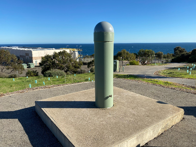
Photo albumPTSV
BibliographyPTSV
If you have a relevant reference to suggest, please send-us an e-mail : sonel@sonel.org-
 Guo, Hou et al., 2021. Monitoring 2019 Forest Fires in Southeastern Australia with GNSS Technique. Remote Sensing.


