
SAN FRANCISCO
Contributing agency

Station summarySBRB


| IGS-type acronym : | SBRB00USA |
| Latitude : | 37.68650000 |
| Longitude : | -122.41090000 |
| Installed date : | 2008-08-21 |
| Decommissioned date : | 2023-11-04 |
| Country : | U.S.A. |
| City: | POINT BLUNT |
| Station status : | Decommissioned (white and red cross) |
| Distance to Tide Gauge (m) : | 14210 |
| Domes Nr.: | 49415M002 |
| Station operator: | Unknown |
| IGS-like station form : |
GPS position times seriesSBRB
Position
(Reference epoch: )
(Reference epoch: )
Offsets (mm)
| M | Material change or malfunction |
| E | Earthquake |
| RF | Reference Frame change |
| U | Unknown |
| NA | Not available |
| Position discontinuity | |
| Velocity discontinuity |
Data available at SONELSBRB
Quality plots on RINEX filesSBRB
 |
 |
Plots generated using software developed with the EPN team at ROB |
| Observations & tracking performance | Satellite tracking |
 (this operation may take 20 to 45s)
The satellite tracking graph has been calculated for all stations for the first day of each month. If you wish to have a graph for another date, choose the 'Calculate a specific date' option.
Comparison with satellite altimetry data
- Link to Sea Level Differences (Satellite altimetry minus tide gauge data).
Co-located instrumentsSBRB
- GPS : Point Blunt (PBL1)
- Tide gauge : SAN FRANCISCO (PBLTG)
- GPS : Tiburon Peninsula (TIBB)
- GPS : San Bruno (SBRN)
- GPS : UC San Francisco (UCSF)
- GPS : San Bruno (SBRU)
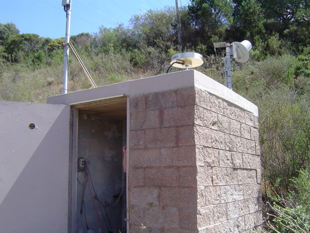
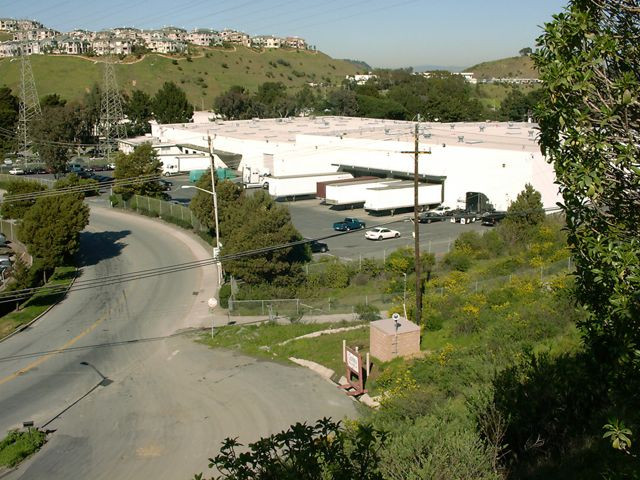
Photo albumSBRB
BibliographySBRB
If you have a relevant reference to suggest, please send-us an e-mail : sonel@sonel.org-
 Breaker, Ruzmaikin, 2013. Estimating Rates of Acceleration Based on the 157-Year Record of Sea Level from San Francisco, California, U.S.A. Journal of Coastal Research.

-
Shirzaei, Bürgmann, 2018. Global climate change and local land subsidence exacerbate inundation risk to the San Francisco Bay Area. Science Advances.
-
Talke, Mahedy et al., 2020. Sea level, tidal and river flow trends in the Lower Columbia River Estuary, 1853-present. Journal of Geophysical Research: Oceans.


