
FUERTEVENTURA
Contributing agency

Station summaryOLIV


| IGS-type acronym : | OLIV00ESP |
| Latitude : | 28.61030778 |
| Longitude : | -13.92762000 |
| Installed date : | 2010-05-17 |
| Decommissioned date : | 2024-04-09 |
| Country : | SPAIN |
| City: | PUERTO DEL ROSARIO |
| Station status : | Decommissioned (white and red cross) |
| Distance to Tide Gauge (m) : | 14324 |
| Domes Nr.: | 83215M001 |
| Station operator: | (GRAFCAN) - GRAFCAN |
| IGS-like station form : |
GPS position times seriesOLIV
Position
(Reference epoch: )
(Reference epoch: )
Offsets (mm)
| M | Material change or malfunction |
| E | Earthquake |
| RF | Reference Frame change |
| U | Unknown |
| NA | Not available |
| Position discontinuity | |
| Velocity discontinuity |
Data available at SONELOLIV
Quality plots on RINEX filesOLIV
 |
 |
Plots generated using software developed with the EPN team at ROB |
| Observations & tracking performance | Satellite tracking |
 (this operation may take 20 to 45s)
The satellite tracking graph has been calculated for all stations for the first day of each month. If you wish to have a graph for another date, choose the 'Calculate a specific date' option.
Co-located instrumentsOLIV
- Tide gauge : FUERTEVENTURA (OLITG)
- GPS : Fuerteventura (FUER)
- Tide gauge : Puerto del Rosario (FUER1)
Leveling & DatumsOLIV
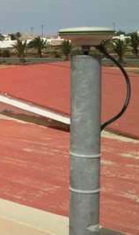
Photo albumOLIV
BibliographyOLIV
If you have a relevant reference to suggest, please send-us an e-mail : sonel@sonel.org-
 Mendes, Barbosa et al., 2017. Vertical land motion and sea level change in Macaronesia. Geophysical Journal International.


