
ST MARY'S
Contributing agency

Station summarySCIL


| IGS-type acronym : | SCIL00GBR |
| Latitude : | 49.91454444 |
| Longitude : | -6.29581111 |
| Installed date : | 2010-08-18 |
| Decommissioned date : | |
| Country : | UK |
| City: | ST MARY'S |
| Station status : | active (green) |
| Distance to Tide Gauge (m) : | 1579 |
| Domes Nr.: | 19201M001 |
| Station operator: | (OS) - Ordnance Survey Geodesy and Positioning |
| IGS-like station form : |
GPS position times seriesSCIL
(Reference epoch: )
| M | Material change or malfunction |
| E | Earthquake |
| RF | Reference Frame change |
| U | Unknown |
| NA | Not available |
| Position discontinuity | |
| Velocity discontinuity |
Data available at SONELSCIL
Quality plots on RINEX filesSCIL
 |
 |
Plots generated using software developed with the EPN team at ROB |
| Observations & tracking performance | Satellite tracking |
 (this operation may take 20 to 45s)
The satellite tracking graph has been calculated for all stations for the first day of each month. If you wish to have a graph for another date, choose the 'Calculate a specific date' option.
Comparison with satellite altimetry data
- Link to Sea Level Differences (Satellite altimetry minus tide gauge data).
Co-located instrumentsSCIL
- Tide gauge : ST MARY'S (SCITG)
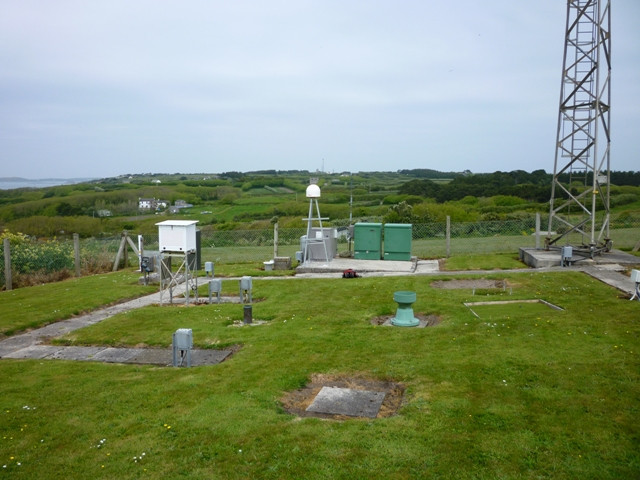
Photo albumSCIL
Log bookSCIL
[EUREFmail-8819] - 2016-12-06 (07/12/2016)
Further to EUREF Mail 8807 and 8817 data from the proposed EPN station SCIL (Scilly Isles) is now switched back on following the fix of the power supply problem.
[EUREFmail-8817] - 2016-12-02 (02/12/2016)
Further to EUREF Mail 8807 (http://www.epncb.oma.be/ftp/mail/EUREF/eurefmail.8807) data from proposed EPN station SCIL (Scilly Isles) is turned off until further notice. The power supply problem has seriously affected the receiver which must now be replaced.
When the station is fixed and data back to proper quality another EUREF Mail will be sent.
[EUREFmail-8807] - 2016-11-22 (22/11/2016)
Please discard data from proposed EPN station SCIL (Scilly Isles) until further notice. A power supply problem on site is causing very intermittent data. The remote location means it might be a few weeks until the problem is resolved.


