
SOUTHEND
Contributing agency

Station summarySHOE


| IGS-type acronym : | SHOE00GBR |
| Latitude : | 51.55478333 |
| Longitude : | 0.82701388 |
| Installed date : | 2005-07-29 |
| Decommissioned date : | |
| Country : | UK |
| City: | SOUTHEND |
| Station status : | active (green) |
| Distance to Tide Gauge (m) : | 7751 |
| Domes Nr.: | 19197M001 |
| Station operator: | (OS) - Ordnance Survey Geodesy and Positioning |
| IGS-like station form : |
GPS position times seriesSHOE
Position
(Reference epoch: )
(Reference epoch: )
Offsets (mm)
| M | Material change or malfunction |
| E | Earthquake |
| RF | Reference Frame change |
| U | Unknown |
| NA | Not available |
| Position discontinuity | |
| Velocity discontinuity |
Data available at SONELSHOE
Quality plots on RINEX filesSHOE
 |
 |
Plots generated using software developed with the EPN team at ROB |
| Observations & tracking performance | Satellite tracking |
 (this operation may take 20 to 45s)
The satellite tracking graph has been calculated for all stations for the first day of each month. If you wish to have a graph for another date, choose the 'Calculate a specific date' option.
Co-located instrumentsSHOE
- Tide gauge : SOUTHEND (SHOTG)
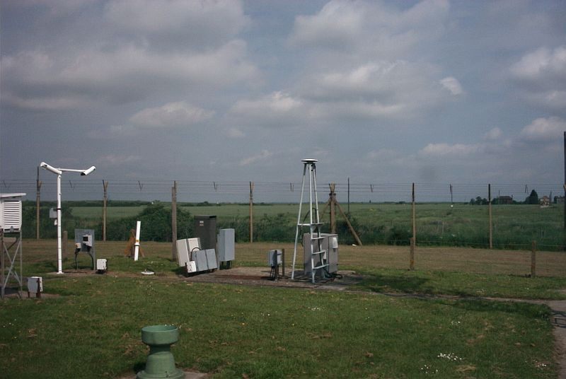
Photo albumSHOE
Log bookSHOE
[EUREFmail-9549] - 2018-09-18 (20/09/2018)
The receiver at station SHOE was changed on 13/09/2018 from 'TRIMBLE NETR9' to 'TRIMBLE ALLOY'. A new log file has been submitted to the EPN. Initially only GPS GLO data is being recorded but the station will be changed to full GPS GLO BAL BDS in the coming months.


