
GAN
Contributing agency

Station summaryADDU


| IGS-type acronym : | ADDU00MDV |
| Latitude : | -0.69059166 |
| Longitude : | 73.15014167 |
| Installed date : | 2012-09-13 |
| Decommissioned date : | |
| Country : | REPUBLIC OF MALDIVES |
| City: | GAN |
| Station status : | active (green) |
| Distance to Tide Gauge (m) : | 467 |
| Domes Nr.: | 22902M001 |
| Station operator: |
Jon Avery
(PGF) - Pacific GPS Facility - Hawaii Institute of Geophysics and Planetology - University of Hawaii at Manoa |
| IGS-like station form : |
GPS position times seriesADDU
Position
(Reference epoch: )
(Reference epoch: )
Offsets (mm)
| M | Material change or malfunction |
| E | Earthquake |
| RF | Reference Frame change |
| U | Unknown |
| NA | Not available |
| Position discontinuity | |
| Velocity discontinuity |
Data available at SONELADDU
Quality plots on RINEX filesADDU
 |
 |
Plots generated using software developed with the EPN team at ROB |
| Observations & tracking performance | Satellite tracking |
 (this operation may take 20 to 45s)
The satellite tracking graph has been calculated for all stations for the first day of each month. If you wish to have a graph for another date, choose the 'Calculate a specific date' option.
Co-located instrumentsADDU
- Tide gauge : GAN II (GANTG)
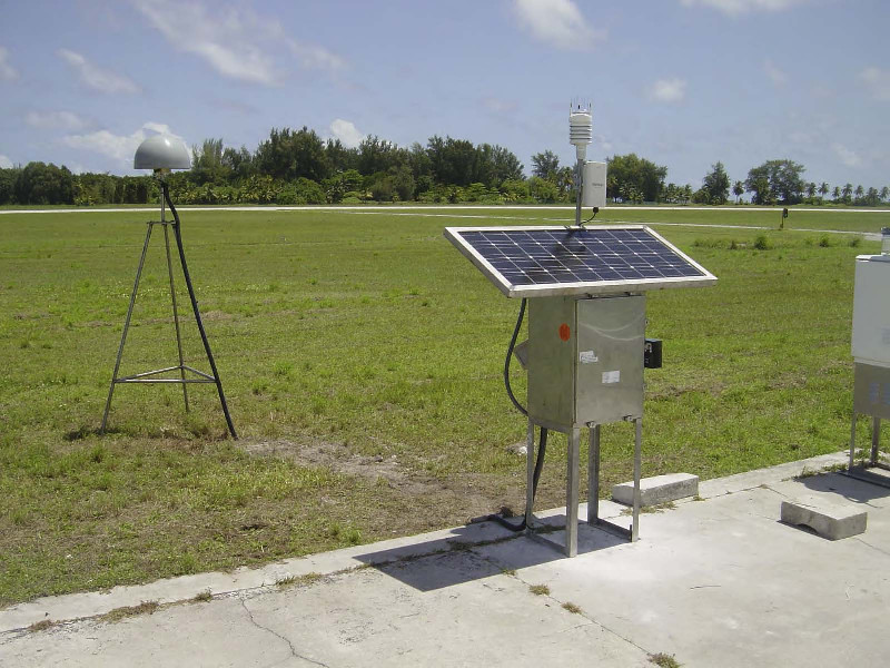
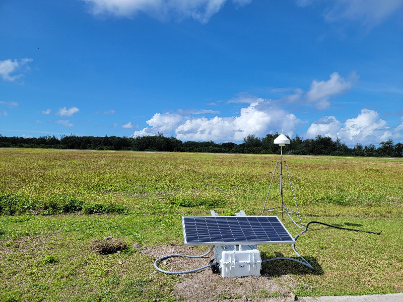
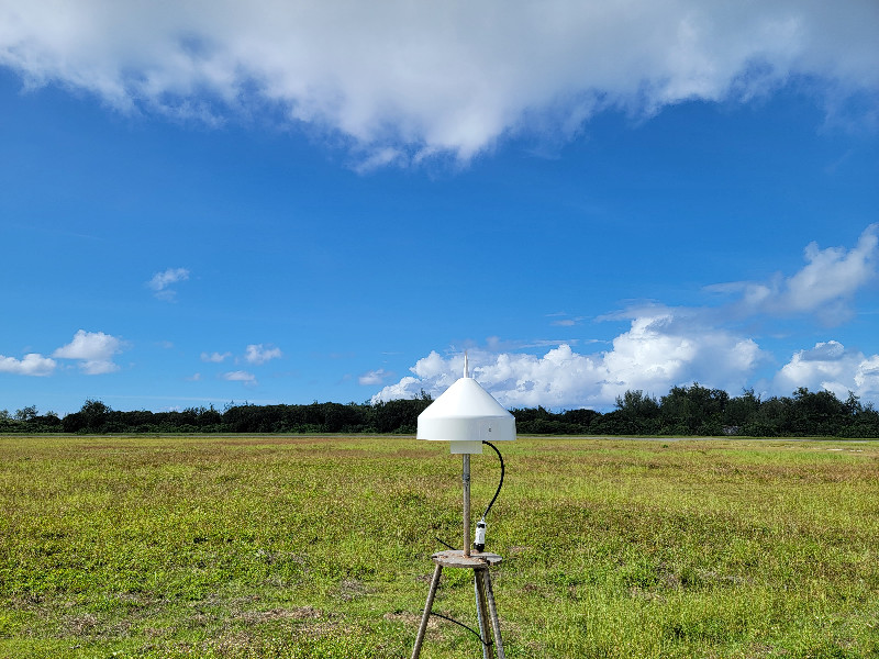
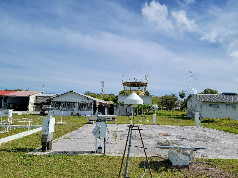
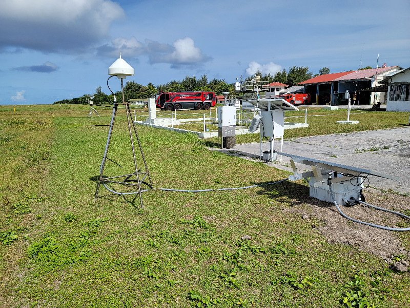
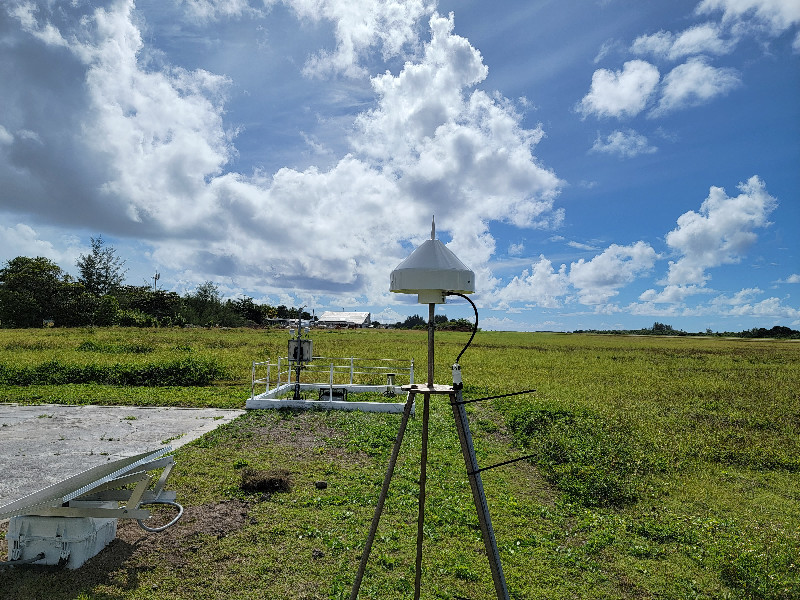
Photo albumADDU
| Titre du document | Vignette |
|---|---|
| ADDU Site Overview 2022 |

(4 Mo) |
Cliquer sur le titre ou la vignette pour télécharger le document


